Santon Bridge Walks
![]()
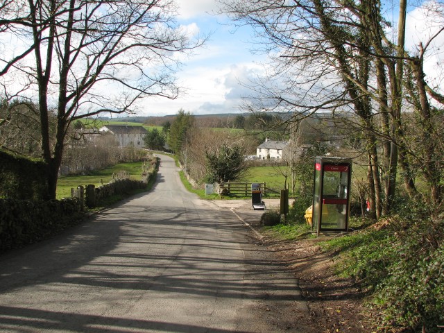
![]() This pretty Lake District village sits on the River Irt in the western part of the National Park.
This pretty Lake District village sits on the River Irt in the western part of the National Park.
This circular walk from the village takes you to the viewpoints at Irton Pike and Irton Fell before exploring the adjacent Miterdale Forest.
You can follow trails east from the village to Irton Pike which stands at 751 feet (229 m). From here there are great views towards Wast Water to the north east.
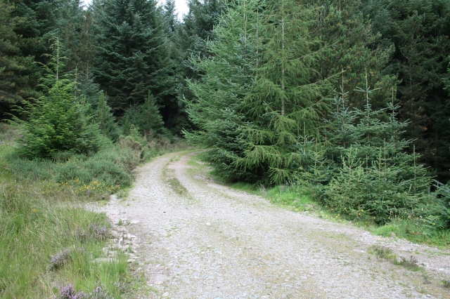
The route then continues east across Mecklin Park to Irton Fell with fabulous views of the surrounding lakeland fells as you go. You can then head south into Miterdale Forest where there are miles of peaceful woodland trails and views of the River Mite at the southern end.
Postcode
CA19 1UX - Please note: Postcode may be approximate for some rural locationsSanton Bridge Ordnance Survey Map  - view and print off detailed OS map
Santon Bridge Open Street Map  - view and print off detailed map
Santon Bridge OS Map  - Mobile GPS OS Map with Location tracking
Santon Bridge Open Street Map  - Mobile GPS Map with Location tracking
Walks near Santon Bridge
- Irton Pike - This circular walk climbs to Irton Pike in the western area of the Lake District
- Eskdale Green - This small Cumbrian village is located in the Lake District's beautiful Eskdale
- Eskdale - Explore beautiful Eskdale and enjoy waterside paths along the rushing River Esk on this varied route
- Muncaster Fell - This fine circular walk near Ravenglass climbs to Muncaster Fell with a visit to Muncaster Tarn and great views along the Cumbrian Coast
- Devoke Water - This walk visits Devoke Water, the largest tarn in the Lake District
- Harter Fell - An enjoyable climb to Harter Fell in the Eskdale area of the Western Lake District.
You can start the walk from the car park at Birks Bridge, just over a mile to the east of the fell - Scafell Pike - Climb the highest mountain in England on this spectacular walk in the Lake District
- Stanley Ghyll Force - This lovely walk in Eskdale takes you to Stanley Ghyll Force Waterfall
- Blea Tarn - This is a nice easy walk around the lovely Blea Tarn near Eltwerwater in the Lake District National Park
- Crinkle Crags - Crinkle Crags stands at a height of 859 m (2,818 ft) surrounding the valleys of Great Langdale and Upper Eskdale.
- Ravenglass to Eskdale - This walk from Ravenglass takes you to the beautiful Eskdale in the Lake District National Park
- Ravenglass - This coastal Cumbrian village is a great place for riverside, estuary and beach walking.
- Wast Water - Enjoy a circular walk around one of the most stunning lakes in the Lake District National Park.
Pubs/Cafes
The Santon Bridge Inn is a fine place for some post walk refreshment. They serve good quality dishes including a Sunday Carvery. There is also a car parking area and a garden area. You can find them at postcode CA19 1UX for your sat navs.
Further Information and Other Local Ideas
To the south east there's the neighbouring village of Eskdale Green. The pretty settlement includes a tarn, woods, a Japanese Garden, riverside trails and two fine historic pubs. There's also Eskdale Green station or Irton Road Station on the heritage Ravenglass and Eskdale Railway here.
Photos
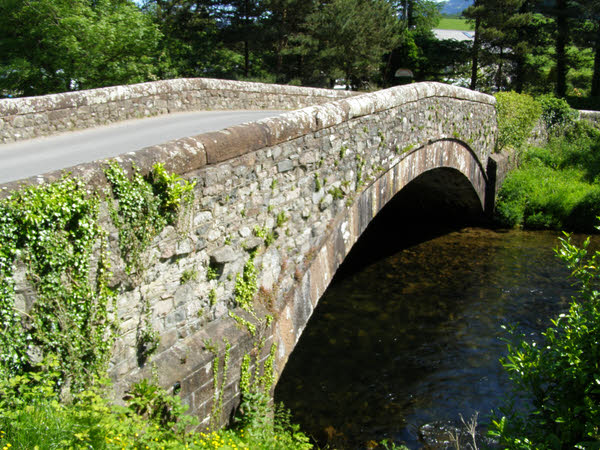
Santon Bridge. Looking northwest towards the bridge over the River Irt. Beyond the bridge is the Bridge Inn. The white building to the right is the former village post office.


