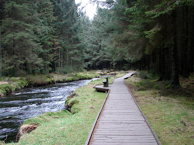
Source of the River Severn Walk
![]()
![]() This walk visits the Source of the River Severn from Hafren Forest along a section of the Severn Way. The source can be found high on Plynlimon, in the uplands of Mid-Wales, on the western boundaries of the forest.
This walk visits the Source of the River Severn from Hafren Forest along a section of the Severn Way. The source can be found high on Plynlimon, in the uplands of Mid-Wales, on the western boundaries of the forest.
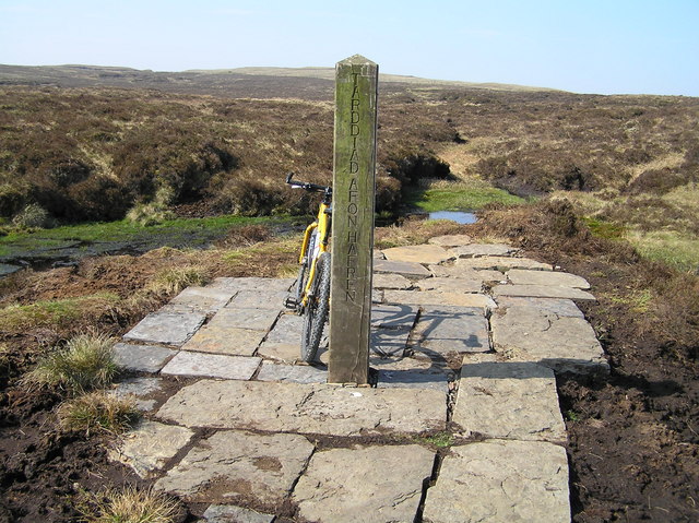
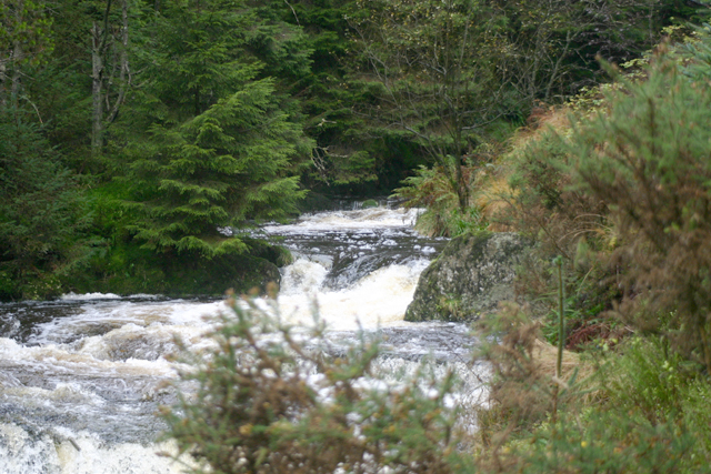
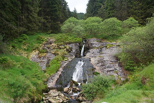
The walk start from the Hafren Forest car park where you can pick up the Severn Way. Follow the waymarked trail north west along the infant River Severn or Afon Hafren. The path gradually climbs through the forest, passing the Rhaeadr Blaenhafren (waterfall) before coming out on the slopes of Plynlimon. A short climb from the edge of the forest will then take you up to the source of the river. Here you'll find a marker post which lies at an elevation 620m or 2034ft. There's also fine views of the Cambrian Mountains and the mountains of Snowdonia from this elevated viewpoint.
It's just over a 3 mile walk from the car park so about 6.5 miles there and back. You can turn it into a longer circular walk by following different trails back through the forest if you have time.
Postcode
SY18 6PT - Please note: Postcode may be approximate for some rural locationsSource of the River Severn Ordnance Survey Map  - view and print off detailed OS map
Source of the River Severn Open Street Map  - view and print off detailed map
Source of the River Severn OS Map  - Mobile GPS OS Map with Location tracking
Source of the River Severn Open Street Map  - Mobile GPS Map with Location tracking
Further Information and Other Local Ideas
The beautiful Llyn Clywedog lies just to the east of the forest. You can follow the Glyndwr's Way along part of the lake where there is an impressive dam and lots of wildlife to look out for.
Just to the west you could pick up the Cambrian Way and follow it south to visit the Source of the River Wye. It's about a 2.5 mile walk to reach the site.
Cycle Routes and Walking Routes Nearby
Photos
"Source of the River Severn". A spring 2008 view of the recent improvements at the end of the Source of the Severn footpath
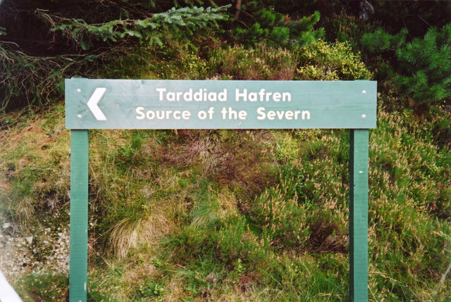
Source of the Severn / Tarddiad Hafren. Signposts within the forest mark the route to the source of the river, about one mile above the edge of the forest.
