Stanton Country Park
![]()
![]() Explore this 74-hectare country park and Local Nature Reserve located near Swindon. Here you will find a lake, woodland, grassland, a ranger centre and an abundance of wildlife. The route takes you around the lake, past Stanton Park Farm and into the surrounding countryside before returning to the start point at Stanton Fitzwarren village.
Explore this 74-hectare country park and Local Nature Reserve located near Swindon. Here you will find a lake, woodland, grassland, a ranger centre and an abundance of wildlife. The route takes you around the lake, past Stanton Park Farm and into the surrounding countryside before returning to the start point at Stanton Fitzwarren village.
Postcode
SN6 7SD - Please note: Postcode may be approximate for some rural locationsStanton Country Park Ordnance Survey Map  - view and print off detailed OS map
Stanton Country Park Open Street Map  - view and print off detailed map
Stanton Country Park OS Map  - Mobile GPS OS Map with Location tracking
Stanton Country Park Open Street Map  - Mobile GPS Map with Location tracking
Dog Walking
The park is a popular place for dog walkers with the woodland and parkland trails ideal for your pet.
Further Information and Other Local Ideas
Just to the north you could pick up the Highworth Walk where you can visit the 17th century Hannington Hall and enjoy the Georgian architecture in the pleasant market town of Highworth.
For more walking ideas in the area see the Wiltshire Walks page.
Cycle Routes and Walking Routes Nearby
Photos
Footpath to Stanton Fitzwarren, Swindon. The path heads east to the small village of Stanton Fitzwarren. The village achieved a degree of fame in the 1970s when the owner of the estate that included the place handed it over to one of a number of 'bogus and bizarre bodies which purport to be religious cults' to quote Hansard.
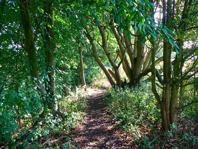
There are tracks and paths throughout the park. If not official footpaths they are permissive ones such as this.
Kitchen Garden, Ranger Centre. It is quite small but no less charming for that. I think the runner beans are probably over but the plants are left in situ as the roots continue to add nitrogen to the soil. It is to be found to the east of an old farmhouse which has been restored and is now used by the local authority Rangers who look after the park.
Trackbed, Swindon and Highworth Light Railway on the western side of the park. This is a view to the south along the route of the ill-starred railway which started out as an aspiration of the good burghers of the town of Highworth and ended as an outpost of the Great Western Railway before a wheel had turned in 1883. Subsequently the line became a little-used branch line of the nationalised British Railways. The last time a train passed this way was 1962.


