Highworth Walks
![]()
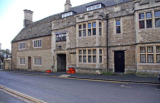
![]() This elevated market town in Wiltshire is located a few miles north of Swindon and just east of Faringdon. The town itself includes some fine Georgian buildings while walkers can enjoy some nice country trails through the Upper Thames Valley.
This elevated market town in Wiltshire is located a few miles north of Swindon and just east of Faringdon. The town itself includes some fine Georgian buildings while walkers can enjoy some nice country trails through the Upper Thames Valley.
This walk from the town takes you through the countryside to visit the neighbouring village of Hannington where you'll pass the historic Hannington Hall.
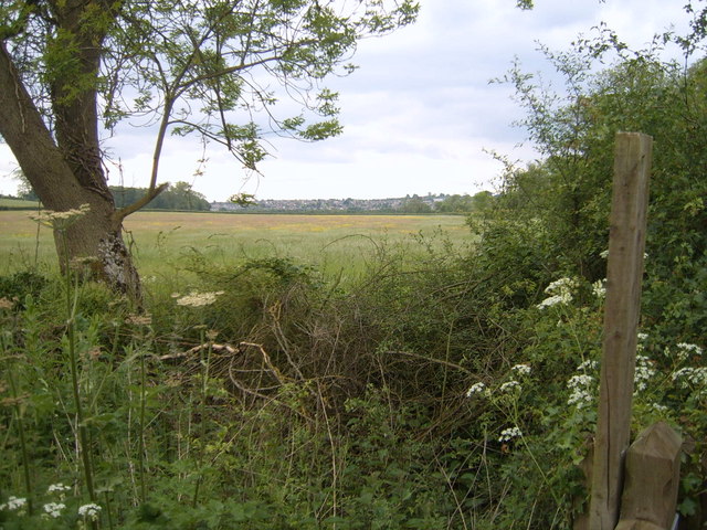
The walk starts on the northern side of the town where you can pick up footpaths heading north west past Crouch Hill. Near Pentylands Farm you can pick up the Burford Stone Lane track and follow it south west to Hannington. On the way you'll pass the Grade II listed country house of Hannington Hall, which dates back to 1653. The hall is surrounded by 340 acres of photogenic pasture and woodland. After exploring the pretty village of Hannington the route returns to Highworth on the same paths.
Postcode
SN6 7DB - Please note: Postcode may be approximate for some rural locationsHighworth Ordnance Survey Map  - view and print off detailed OS map
Highworth Open Street Map  - view and print off detailed map
Highworth OS Map  - Mobile GPS OS Map with Location tracking
Highworth Open Street Map  - Mobile GPS Map with Location tracking
Walks near Highworth
- Cotswold Water Park - This fabulous attraction has numerous waterside cycling and walking paths taking you around the park's 150 lakes
- Swindon Canal Circular Walk - A nice circular walk around Swindon, visiting the Wilts and Berks Canal, the Old Town Railway Path, Lawns Park and Queen's Park
- Faringdon Circular Walk - This circular walk around the Oxfordshire town of Faringdon, visits Faringdon Folly and the village of Littlelworth
- Badbury Clump - This walk explores Badbury Hill and the lovely wooded area of Badbury Clump near Faringdon
- Buscot Park - Explore the delightful grounds and gardens surrounding this fine 18th-century house near Faringdon in Oxfordshire
- Stanton Country Park - Explore this 74-hectare country park and Local Nature Reserve located near Swindon
- Thames Path - Starting at the Source of the Thames at Thames Head in Gloucestershire, follow the iconic river through beautiful countryside and historic towns to the city of London.
The path runs for 184 miles running alongside the river for nearly the whole route making for a glorious experience whatever time of year - Shrivenham - A circular walk around the Oxfordshire village of Shrivenham, visiting the Wilts and Berks Canal and a local nature reserve.
Pubs/Cafes
The 18th century Rose & Crown is a good choice for some post walk refreshment. They serve good quality food and have a lovely large garden area for warmer weather. It's one of the older pubs in the town and includes wooden beams and a wood burner indoors. You can find them at 19 The Green, SN6 7DB.
Dog Walking
The country trails are good for a dog walk and the Rose and Crown mentioned above is also dog friendly.
Further Information and Other Local Ideas
Head north and you could enjoy waterside walking along the Thames Path National Trail and visit the splendid Cotswold Water Park.
To the south west is the large town of Swindon where you could pick up the Swindon Canal Circular Walk.
Just to the south is Stanton Country Park where there's a pretty lake, a nature reserve and lots of wildlife to see.
For more walking ideas in the area see the Wiltshire Walks page.


