Nice Walks near Sutton Coldfield with OS Maps
![]()
![]() This Birmingham based town is the home of the splendid Sutton Park which lies just to the west. The expansive park includes 200 acres of open heathland, woodlands, wetlands, marshes and lakes.
This Birmingham based town is the home of the splendid Sutton Park which lies just to the west. The expansive park includes 200 acres of open heathland, woodlands, wetlands, marshes and lakes.
This walk from the town visits some of the local highlights including Rectory Park, New Hall Valley Country Park, Pype Hayes Park and the Plants Brook nature reserve.
You can start the walk from Rectory Park which includes Sutton's main football park, mature woodland and wild grassland areas. From here it is a short walk south to the adjacent New Hall Valley Country Park where there are a some good walking and cycling trails. Park features include waterside trails along the Plants Brook, wildflower meadows and woodland trails.
The route then continues south to visit the Dam at Walmley and Pype Hayes Park. There's 100 acres to explore here with a lake, ornamental gardens and woodland. On the eastern side of the park there's also the reservoirs and wildlife to see at the Plants Brook nature reserve.
Postcode
B75 7BD - Please note: Postcode may be approximate for some rural locationsSutton Coldfield Ordnance Survey Map  - view and print off detailed OS map
Sutton Coldfield Open Street Map  - view and print off detailed map
*New* - Walks and Cycle Routes Near Me Map - Waymarked Routes and Mountain Bike Trails>>
Sutton Coldfield OS Map  - Mobile GPS OS Map with Location tracking
Sutton Coldfield Open Street Map  - Mobile GPS Map with Location tracking
Walks near Sutton Coldfield
- Pype Hayes Park - Enjoy cycling and walking trails in this large park in Sutton Coldfield
- Birmingham and Fazeley Canal - Enjoy a walk or cycle along the Birmingham and Fazeley Canal from the city centre of Birmingham to the town of Fazeley in Staffordshire
- Sutton Park - This splendid park in Sutton Coldfield in Birmingham is the largest urban park in Europe and the largest outside a capital city
- New Hall Valley Country Park - This pretty country park in Sutton Coldfield has good cycling and walking trails to try
- Barr Beacon - This walk climbs to one of the highest spots in the Birmingham area
- Walsall Canal - Enjoy a waterside walk or cycle along the Walsall Canal on this easy route in the West Midlands
- Walsall Arboretum - This delightful arboretum has a series of good footpaths to follow around the site
- Park Lime Pits - Enjoy a short walk around this country park and nature reserve in Walsall
- Pelsall Common - This walk visits the Pelsall North Common nature reserve in the village of Pelsall, Walsall.
Photos
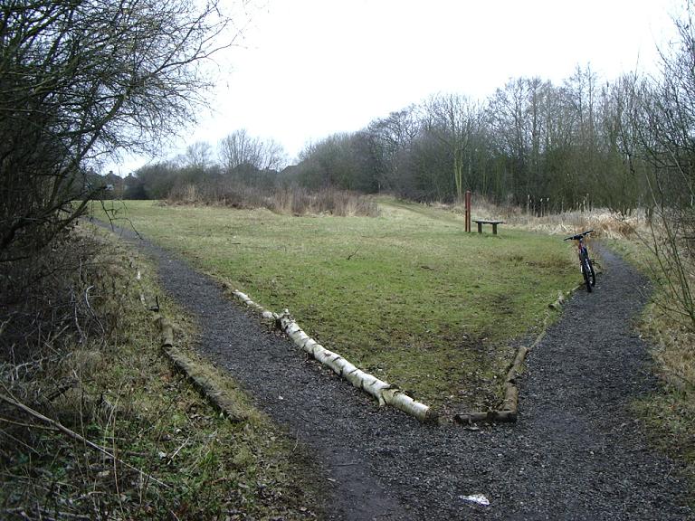
Park view, Pype Hayes Park. View of paths dividing west, towards Hayes Grove or Hervey Grove on the western edge of the park.


