Totton Walks
![]()
![]() This Hampshire based town is located near Southampton and the New Forest National Park. It's a nice place to start a walk with riverside paths and two local nature reserves to explore.
This Hampshire based town is located near Southampton and the New Forest National Park. It's a nice place to start a walk with riverside paths and two local nature reserves to explore.
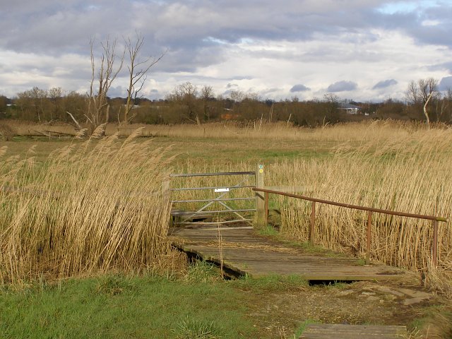
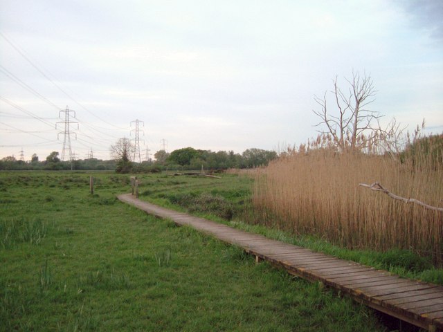
This walk starts from the train station and visits the Lower Test Nature Reserve and Testwood Lakes. Part of the walk uses a section of the Test Way, a long distance trail following the route of the River Test. The area has some pleasant waterside trails, marshland, boardwalks, bird hides and a wide variety of wildlife to look out for.
If you follow the Test Way south from the train station it will take you to the start of the walk at Eling Tide Mill. The Grade II listed mill is a major local attraction with picturesque walks and some fascinating local history.
To continue your walking around the town head east into Southampton where you can explore Southampton Common and pick up the historical Southampton Walls Walk.
To the west is the village of Ashurst where you can pick up a variety of walks around the New Forest.
Totton Ordnance Survey Map  - view and print off detailed OS map
Totton Open Street Map  - view and print off detailed map
Totton OS Map  - Mobile GPS OS Map with Location tracking
Totton Open Street Map  - Mobile GPS Map with Location tracking
Walks near Totton
- Testwood Lakes - Enjoy an easy, waterside walk around these two pretty lakes in Totton, on the eastern edge of the New Forest
- Test Way - Travel through the Test Valley on this 45 mile walk through Hampshire and Berkshire.
The route starts Eling Tide Mile near Totton heading north towards the Lower Test Nature Reserve and Romsey along the river - Blashford Lakes - This walk takes you around Blashford Lakes Nature Reserve and Ibsley Water on the edge of the New Forest
- Southampton Common - Explore 326 acres of woodland, parkland, rough grassland, ponds, wetlands and nature trails on this lovely cycling and walking route in Southampton
- Furzey Gardens - Enjoy a peaceful stroll around these beautiful gardens in Minstead in the New Forest
- Dibden Inclosure - This area of the New Forest is a popular spot for walkers
- Rufus Stone - This walk visits the historic Rufus Stone in the New Forest
- Acres Down - This circular walk explores the Acres Down area of the New Forest near the village of Minstead.
- Ashurst New Forest - With its own train station and easy access to a number of walking trails, the village of Ashurst is a popular visitor attraction.
This circular walk takes you through the woodland on the south eastern side of the village - Minstead - This pretty New Forest village is located just north of Lyndhurst
- Denny Wood - This walk visits Denny Wood and the Denny Inclosure in the New Forest
- New Forest Reptile Centre Trail - Follow the Reptile Discovery Trail on this easy walk in the New Forest
- Lyndhurst - This walk visits some of the highlights of the Lyndhurst Area of the New Forest
- Southampton Walls - A circular walk taking you around the historic walls of the city of Southampton.
Photos
View across the River Test towards Redbridge. The body of water in the centre of the photo is the tidal River Test, with Southampton Water to the right beyond the railway causeway. On the left is Redbridge Causeway, with its blue railings and tall street lamps, which carries the A35 across the river. The tower block in the centre is the aptly-named Redbridge Tower and the one on the far left is Millbrook Tower (which is a strange name choices as it is not in Millbrook).
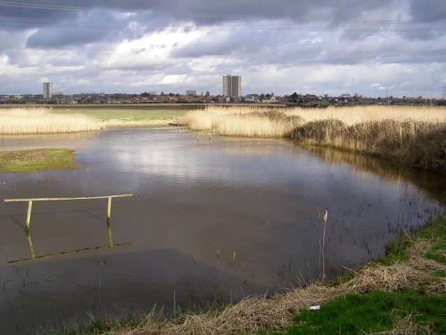
View from birdwatching hide, Lower Test nature reserve Looking out from the Lower Test nature reserve observation hide, with Redbridge Tower in the distance. Redbridge, now on the edge of Southampton, was named after the bridge and reeds in this part of the Test estuary. The hide was constructed by Hampshire and Isle of Wight Wildlife Trust who manage the Lower Test reserve.
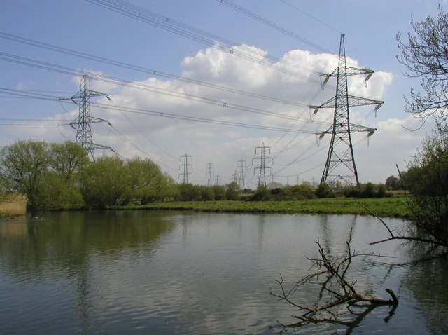
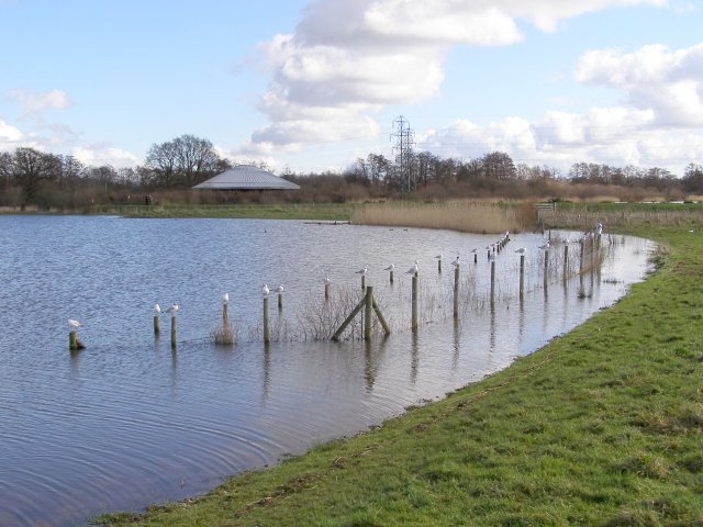
Testwood Lake, swollen with water. Testwood Lake is an old gravel pit that has been allowed to flood 'naturally' as part of the Testwood Lakes nature reserve. Here each pole of the fenced-off area is topped with a seagull. The round building in the distance is the pumping station. The water level here is unusually high

