Wittenham Clumps Walk
![]()
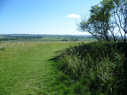
![]() This circular walk climbs to these two distinctive hills near Dorchester. On the way you can enjoy wonderful views over the Oxfordshire and Berkshire countryside.
This circular walk climbs to these two distinctive hills near Dorchester. On the way you can enjoy wonderful views over the Oxfordshire and Berkshire countryside.
The 'clumps' include Round Hill at 390 feet (120 m) and the 350 feet (110 m) Castle Hill which is about 380 yards (350 m) to the south-east. The Clumps are one of the most visited outdoor sites in Oxfordshire, attracting over 200,000 visitors a year.
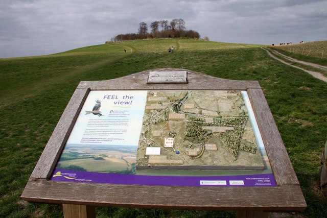
You can park at the Wittenham Clumps car park right next to the hills to start your walk. Then follow the footpaths up to Round Hill where you can enjoy panoramic views, overlooking some of the villages and towns which mark some of the first settlements of the English. A viewpoint guide at the hilltop displays some of the features of interest you can see from the summit. These include significant locks on the River Thames, Faringdon Folly, Didcot Power Station and Dorchester Abbey. On a clear day there's also great views of the Chiltern Hills and Cotswold Hills.
After taking in the views from Round Hill you can make your way over to Castle Hill which is the site of an Iron Age Hillfort. Excavations of the site suggest it was occupied since the Bronze Age around 1000 BC. Artefacts recovered include an oval bronze shield and the Wittenham Sword and scabbard, dating from the late Iron Age.
Just to the north of the hill you will find Little Wittenham Woods where you can extend your walk on the woodland trails next to the river.
You can also continue your walk along the Thames Path which runs near to the hills. Heading south will take you to Wallingford where you can visit the ruins of the 11th century Wallingford Castle and enjoy more riverside paths.
You can also try our longer Dorchester Circular Walk which visits the clumps, Shillingford and Dorchester Abbey. The Clumps can be reached from the nearby town of Didcot on our Didcot Walk.
Postcode
OX14 4QZ - Please note: Postcode may be approximate for some rural locationsWittenham Clumps Ordnance Survey Map  - view and print off detailed OS map
Wittenham Clumps Open Street Map  - view and print off detailed map
Wittenham Clumps OS Map  - Mobile GPS OS Map with Location tracking
Wittenham Clumps Open Street Map  - Mobile GPS Map with Location tracking
Further Information and Other Local Ideas
Just to the west you can visit the neighbouring villages of Sutton Courtenay and Culham. The former picturesque settlement has several historic buildings including the 12th century Norman Hall and The Abbey - a Grade I listed medieval courtyard house. Culham has a particularly lovely lock and weir to admire.
The circular Clifton Hampden Walk visits the site from the nearby village. The historic riverside settlement is well worth a visit with delightful thatched cottages, a listed 19th century bridge, a fine 14th century pub and a noteworthy church with elements dating back to the 12th century.
Cycle Routes and Walking Routes Nearby
Photos
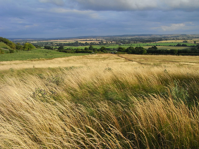
Grassland, Wittenham Clumps. Looking from the northwestern of the two hills toward the Berkshire Downs.


