Grovely Wood
![]()
![]() Enjoy cycling and walking trails in this large area of woodland near the Wiltshire village of Great Wishford.
Enjoy cycling and walking trails in this large area of woodland near the Wiltshire village of Great Wishford.
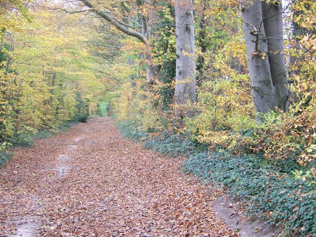
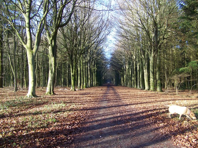
This route starts in Great Wishford and makes use of the Monarch's Way and the Salisbury Country Way to take you into the woods. Start off in the village centre and then follow the Grovely Road south west to the woods. There's lots of nice wide trails with beech trees lining the way. Look out for a variety of birdlife and the Purple Emperor butterfly as you make your way around the expansive site.
A Roman road also passes through the centre of the woods. This makes for a good cycle path taking you from one end of the woods to the other. You can pick up the path from Wilton and head west to the forest, as an alternative route. It's a great area for mountain bikes with lots of additional trails to choose from.
If you would like to extend your walking in the area then the village of Great Wishford and the surrounding area is well worth exploring. The village has a fascinating parish church with a 13th-century chancel and 15th-century tower. You can also enjoy a stroll along the River Wylye which runs through the village.
If you continue west along the Monarch's Way it will take you to Great Ridge Wood where there are more good woodland trails to try.
Postcode
SP2 0NN - Please note: Postcode may be approximate for some rural locationsGrovely Wood Ordnance Survey Map  - view and print off detailed OS map
Grovely Wood Open Street Map  - view and print off detailed map
Grovely Wood OS Map  - Mobile GPS OS Map with Location tracking
Grovely Wood Open Street Map  - Mobile GPS Map with Location tracking
Pubs/Cafes
Near the start of the walk there's The Swan Inn for some post exercise rest and refreshment. The fine old country pub dates back to the 17th century sits in a splendid location next to the River Wylye. You can sit outside and enjoy a fine Sunday lunch with a view over the water. The pub can be found in Stoford at postcode SP2 0PR for your sat navs.
Dog Walking
As you'd imagine the miles of woodland trails are ideal for a dog walk. The Swan Inn mentioned above is also dog friendly.
Further Information and Other Local Ideas
Just a few miles south east of the city of Salisbury you can enjoy a climb to Pepperbox Hill. The National Trust owned area includes a distinctive 17th century and some fine views over the Wiltshire countryside to the city. Near here there's also Figsbury Ring. The Iron Age hill fort is another National Trust owned site with good footpaths around the ramparts and more tremendous views.
To the north there's more interesting local history on the Yarnbury Castle Poppies Walk. The site is one of the largest and best-preserved hillforts in southern England, covering approximately 28 acres.
Cycle Routes and Walking Routes Nearby
Photos
Great Wishford. A lovely view over the village from the A36 in Stoford. The church of St Giles, cottages and the green countryside are all pictured in this mid summer photograph.


