Malham Tarn Estate
![]()
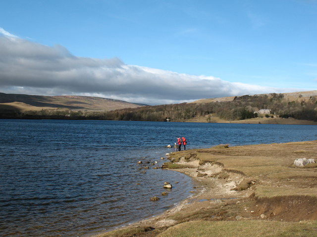
![]() This beautiful spot in the Yorkshire Dales is perfect for a safe cycle or walk. It is run by the National Trust and consists of a beautiful glacial lake, limestone pavements, upland hill farms and flower-rich hay meadows. There are also delightful waterside paths along the tarn and a National Nature Reserve with a bird hide and rare plants.
This beautiful spot in the Yorkshire Dales is perfect for a safe cycle or walk. It is run by the National Trust and consists of a beautiful glacial lake, limestone pavements, upland hill farms and flower-rich hay meadows. There are also delightful waterside paths along the tarn and a National Nature Reserve with a bird hide and rare plants.
For cyclists there is a nice, easy family cycle trail and more challenging routes for mountain bikers. There are different routes for walkers with a stroll along the shores of Malham Tarn, through the National Nature Reserve and across the fields a favourite.
The Settle Loop circular trail passes close to the estate so you could follow the route from the town to the estate. Alternatively there is a good sized car park just south of the tarn.
The Pennine Way passes through the estate so you could pick up the trail to extend your walking in the area. If you head south you can visit the nearby Malham Cove. The site includes a hugely impressive curved cliff formation of limestone rock.
Climbing north along the Pennine Way will take you to Fountains Fell and Fountains Fell Tarn with magnificent views over the area.
Postcode
BD23 4DJ - Please note: Postcode may be approximate for some rural locationsPlease click here for more information
Malham Tarn Estate Ordnance Survey Map  - view and print off detailed OS map
Malham Tarn Estate Open Street Map  - view and print off detailed map
Malham Tarn Estate OS Map  - Mobile GPS OS Map with Location tracking
Malham Tarn Estate Open Street Map  - Mobile GPS Map with Location tracking
Explore the Area with Google Street View 
Further Information and Other Local Ideas
The estate can also be reached on the Mastiles Lane from Kilnsey. This old Roman Road is an interesting way to reach the site, passing an old Roman settlement on the way.
Head west and you could Settle Caves and Waterfalls Walk and visit the splendid Catrigg Force and Scaleber Force waterfalls.
On the other side of the River Ribble you'll also find the nearby village of Giggleswick. Here you could pick up the circular Giggleswick Walk and enjoy a climb to the excellent viewpoints on Giggleswick Scar.
Just to the east there's some nice trails around Winterburn Reservoir. The reservoir is a little of the beaten track so a nice place for a peaceful walk.
For more walking ideas in the area see the Yorkshire Dales Walks page.
Cycle Routes and Walking Routes Nearby
Photos
Malham Tarn: Highfolds. The view from Highfolds looking across Malham Tarn. The buildings in the middle distance are the old stables for Malham Tarn House which lies among the trees to the left. The house is now owned by The National Trust but leased to The Field Studies Council who use it to provide residential courses for young and old alike. The old stables have been converted to high quality accommodation for those attending the courses.
Path across Ewe Moor. Looking east towards the top of Malham Cove from the limestone pastures of Ewe Moor.
Walkers on the path to Janet's Foss. A party of young Aberdeen University biologists walking towards Janet's Foss. The building in the distance is New Laithe. A laithe is a field barn, a building combining a cow-house with space to store hay and other crops.
Malhamdale: the view from atop Malham Cove. Looking South from the top of Malham Cove, a dry limestone waterfall dating from the end of the last ice-age. The village of Malham lies in the middle distance. The surrounding fields are rich in ancient stone walls and lynchets, platforms built in Celtic times to facilitate ploughing by teams of oxen.
Mantley Field Laithe and hay meadow. A field barn dating from 1755. The dialect word laithe comes from the Viking word hlatha, meaning barn. Around 4 cows were overwintered in such barns and were fed on stored hay. The hay meadow is rich in wild flowers. Note the terraces, or lynchets, to the left of the barn. These were built in Anglo-Saxon times to allow ploughing with teams of oxen.


