Bedford Park Walks
![]()
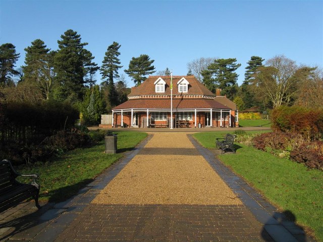
![]() Enjoy an easy stroll around this pretty park near the centre of Bedford. The park contains some nice mature woodland and a pretty lake with a fountain and ducks and swans. There is also a very good cafe.
Enjoy an easy stroll around this pretty park near the centre of Bedford. The park contains some nice mature woodland and a pretty lake with a fountain and ducks and swans. There is also a very good cafe.
The John Bunyan Trail runs through the park so you could pick this up to extend your walk.
Priory Country Park is located just to the east of the town centre. There's nice cycling and walking trails around the pretty lakes to enjoy here.
Postcode
MK40 2JZ - Please note: Postcode may be approximate for some rural locationsBedford Park Ordnance Survey Map  - view and print off detailed OS map
Bedford Park Open Street Map  - view and print off detailed map
*New* - Walks and Cycle Routes Near Me Map - Waymarked Routes and Mountain Bike Trails>>
Bedford Park OS Map  - Mobile GPS OS Map with Location tracking
Bedford Park Open Street Map  - Mobile GPS Map with Location tracking
Further Information and Other Local Ideas
Just to the north west of the town you can pick up the circular Stevington Country Walk. This uses sections of the John Bunyan Trail and the Ouse Valley Way to visit the restored Stevington Windmill and the villages of Oakley and Pavenham.
To the south east is the chocolate box village of Old Warden. The village is famous for the Shuttleworth Museum of historic airplanes and motor vehicles at Old Warden Aerodrome. The area also includes Old Warden Park where there are some lovely Swiss gardens, parkland walks and pretty lakes.
For more walking ideas in the area see the Bedfordshire Walks page.
Cycle Routes and Walking Routes Nearby
Photos
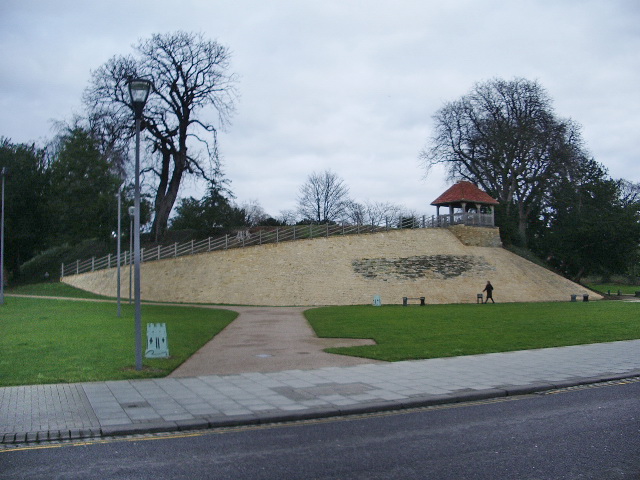
The Bedford snakes. A mosaic depicting a map of Bedford and a stylised history of the town, with references to King Offa, a siege, vikings, its mint, the mill and its main streets and churches. The best distant view is from the Castle Mound, but unfortunately the image is upsidedown from that viewpoint - so the one shown is inverted.


