Bradford on Avon to Trowbridge Canal and River Circular Walk
![]()
![]() The West Wiltshire town of Bradford on Avon is a great place for walkers, officially recognised as a Walkers are Welcome town. There's good waterside paths along the canal and river, with waymarked trails also running into the surrounding countryside.
The West Wiltshire town of Bradford on Avon is a great place for walkers, officially recognised as a Walkers are Welcome town. There's good waterside paths along the canal and river, with waymarked trails also running into the surrounding countryside.
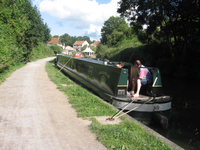
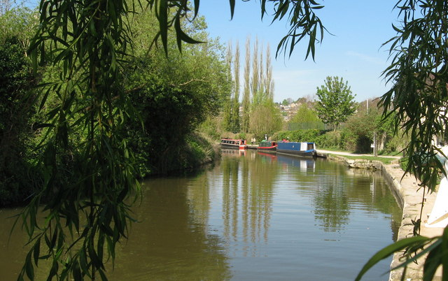
This circular walk takes you along the Kennet and Avon Canal and the River Avon which both run through the area. You can start the walk just to the west of the train station on the riverside path. Follow it a short distance to the south and it will take you to the pretty Barton Farm Country Park. Here you will find historic buildings, craft shops and nice tea rooms for refreshments. There's also a farmhouse, granary and an impressive 14th century Tithe Barn. The monastic stone barn, is over 50 metres long, and includes a fine timber cruck roof.
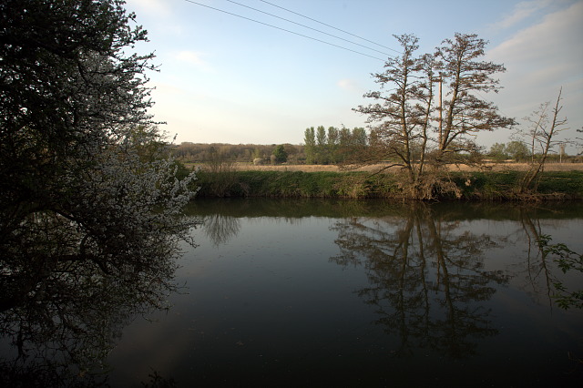
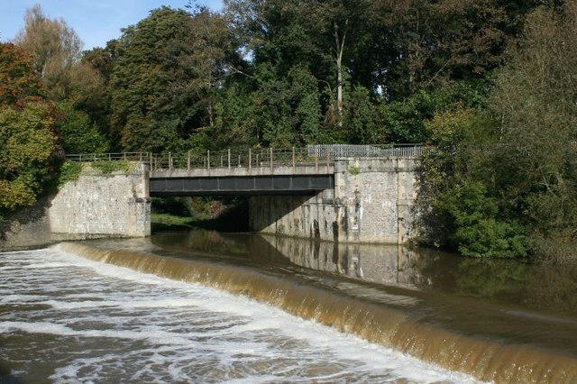
In the park you pick up the towpath of the canal and turn east, heading towards Trowbridge. This section passes Bradford Lock and the marina before coming to the river. Here you can pick up another footpath heading west past the golf course back into the town centre. If you have time you can also cross the river on Mckeever Bridge and visit the beautiful old Saxon Church on Church Street. The church dates from the 10th century and contains some wonderful architecture.
To extend your walking in the area you could follow the canal in the other direction and visit Bath on our Bath Canal Walk. It's a lovely section of the canal with highlights including the Dundas Aqueduct and the villages of Monkton Combe and Bathampton.
The long distance Macmillan Way also runs through the town. You can pick it up just to the east of the train station and explore the wider countryside. Following it north will take you to South Wraxall. If you follow it south west it will take you to the River Frome and Farleigh Hungerford.
Also nearby is the pretty Southwick Country Park. Located just a few miles to the south of the town the 100 acre park has a series of good walking trails to try.
Bradford on Avon Canal and River Walk Ordnance Survey Map  - view and print off detailed OS map
Bradford on Avon Canal and River Walk Open Street Map  - view and print off detailed map
*New* - Walks and Cycle Routes Near Me Map - Waymarked Routes and Mountain Bike Trails>>
Bradford on Avon Canal and River Walk OS Map  - Mobile GPS OS Map with Location tracking
Bradford on Avon Canal and River Walk Open Street Map  - Mobile GPS Map with Location tracking
Further Information and Other Local Ideas
Just to the north east there's the worthy village of Holt to explore. Here you'll find two fine National Trust properties with beautiful gardens and plenty of history.
A few miles to the south west there's the worthy village of Norton St Philip where you'll find a historic 14th century pub which claims to be the oldest in the country. You can also enjoy walks along the delightful Wellow Brook to the village of Wellow here.
For more walking ideas in the area see the Wiltshire Walks page.


