Burbage Wiltshire Walks
![]()
![]() This Wiltshire village is located near the Kennet and Avon Canal Walk in the Vale of Pewsey.
This Wiltshire village is located near the Kennet and Avon Canal Walk in the Vale of Pewsey.
It's a pleasant area for a stroll with pretty thatched cottages, an historic church and some attractive surrounding countryside. Head north east from the village and you will soon come to the canal where you can enjoy some easy walks along the towpath. Heading east will take you to Wilton where you can enjoy one of the area highlights at Wilton Windmill.
Please scroll down for the full list of walks near and around Burbage. The detailed maps below also show a range of footpaths, bridleways and cycle paths in the area.
Burbage Ordnance Survey Map  - view and print off detailed OS map
Burbage Open Street Map  - view and print off detailed map
Burbage OS Map  - Mobile GPS OS Map with Location tracking
Burbage Open Street Map  - Mobile GPS Map with Location tracking
Walks near Burbage
- Wilton Windmill - This circular walk visits Wilton Windmill in the North Wessex Downs area of Wiltshire.
- Wootton Rivers - This walk explores the area around the Wiltshire village of Wootton Rivers in the Vale of Pewsey
- Pewsey - This Wiltshire based village is a great place to visit with excellent walking opportunities in the surrounding area
- Kennet and Avon Canal Walk - A splendid waterside walk from the Thames at Reading, through Thatcham, Newbury, Hungerford, Great Bedwyn, Pewsey, Devizes, Bradford on Avon to Bath
- Tan Hill Way - This walk takes you through the beautiful Marlborough Downs in Wiltshire
- Pewsey Avon Trail - A delightful walk along the River Avon from Pewsey to Salisbury that links with the River Avon Trail.You will pass several pretty riverside villages including Upavon, Amesbury and Upper and Lower Woodford.
There are fine views of Salisbury Plain and a series of picturesque riverside pubs if you're in need of refreshment - Great Bedwyn - The villages of Great Bedwyn and Pewsey are located on a lovely stretch of the Kennet and Avon Canal in the North Wessex Downs area of Wiltshire
- Salisbury Plain - This walk explores a section of the ancient Salisbury Plain with its chalk grassland, fascinating historical sites and wide ranging views
- Salisbury Circular Walk - Enjoy a stroll around the grounds of the famous cathedral before exploring the surrounding rivers, gardens and streets of this famous Wiltshire city
- Avebury Stones - Visit the largest stone circle in Europe and then explore the lovely surrounding Wiltshire countryside on this circular walk in Wiltshire
- Stonehenge - This circular walk visits the countryside and woodland around this famous historical site
- White Horse Trail - This is a circular long distance, waymarked trail running through Wiltshire
- Westbury White Horse - Climb to Westbury Hill and visit the Westbury White Horse on this circular walk near Bratton in Wiltshire
- West Woods - This large area of woodland near Marlborough has miles of hard surfaced cycling and walking trails to try
- Alton Barnes White Horse - This circular walk takes you to a chalk hill figure on Milk Hill near the Wiltshire village of Alton Barnes
Photos
Wolfhall Manor, Burbage, Marlborough, Wiltshire. The parish includes the hamlets of Durley, Eastcourt, Marr Green, Ram Alley, Stibb Green, The Warren (which is close to Tottenham House), and Westcourt.
Burbage Wharf. The Kennet and Avon Canal, a historic waterway completed in 1810, intersects the parish just north of Burbage village, traversing the Bruce Tunnel in the process. Burbage Wharf, located further west, was a vital point where the canal passed beneath the present-day A346 road. In the 1860s, the Great Western Railway's Berks and Hants Extension Railway, linking Hungerford to Devizes, was constructed in close proximity to the canal. Over time, this railway line became integral to the main line connecting London Paddington to Plymouth, officially designated in 1906. Savernake Low Level station, situated north of the village above the canal tunnel, was established by the GWR; although British Railways ceased operations there in 1966, the line remains active. Additionally, until 1947, Burbage Wharf accommodated a goods-only railway station. Another significant railway addition was the Midland and South Western Junction Railway, inaugurated in 1882, with a station named Grafton and Burbage located in nearby West Grafton. This railway line formed part of a broader network connecting Southampton Central to Cheltenham and the Midlands. Despite its importance, British Railways ceased operations on this line in 1961.
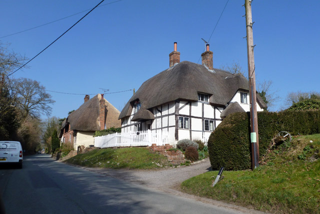
Thatched cottages. Burbage is strategically located on a watershed at the eastern extremity of the Vale of Pewsey. Its geographical position sees streams flowing eastwards, eventually joining the Thames via the Dun and Kennet rivers. To the south, streams drain into the Salisbury Avon via the River Bourne. Conversely, those to the north and west directly feed into the Avon. The village's historical significance is underscored by its location along the former main north–south road from Marlborough to Andover, now represented by the A346 primary route. However, in 1991, a bypass was constructed to the west, diverting traffic away from the village. Another route, connecting Pewsey to Hungerford and the M4, skirts the southern edge of Burbage, designated as A338 to the east and B3087 to the west. Although Burbage once had a railway station on the Reading to Taunton line, it no longer operates. Presently, commuters rely on stations at Great Bedwyn (offering services to London) and Pewsey. Nestled amidst the picturesque landscapes of the North Wessex Downs, Burbage finds itself situated within a designated Area of Outstanding Natural Beauty, providing residents and visitors alike with scenic vistas and abundant natural attractions.
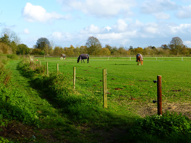
Pasture. The population of Burbage reached its peak of approximately 1600 residents, during the railway's construction in the 1860s. However, it experienced a decline over the subsequent century, hitting a low of 1000 residents. Nevertheless, population growth has been steady since then, with Burbage reclaiming its 1860s demographic levels in the 21st century. Education in Burbage traces back to the establishment of the village's first school at Eastcourt in 1806. Rebuilt in 1856 and augmented with a separate building for younger pupils in 1861, this educational institution transitioned to county council oversight around 1906. It served students of all ages until the opening of Marlborough secondary school in 1946. The 19th-century school buildings, recognized as Grade II listed structures in 1988, ceased operations in 1989 following the inauguration of a new school, subsequently being repurposed as a private residence.


