Comber Mere Walks
![]()
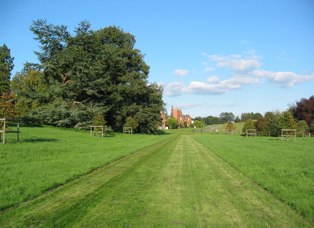
![]() Comber Mere Abbey is surrounded by some beautiful parkland, woodland, lakes and gardens. The historic abbey was founded in the 1130s by Hugh Malbank, Baron of Nantwich. The expansive estate includes a 5 acre walled garden and a number of Grade II listed structures including a sandstone sundial which is thought to date from the 12th century.
Comber Mere Abbey is surrounded by some beautiful parkland, woodland, lakes and gardens. The historic abbey was founded in the 1130s by Hugh Malbank, Baron of Nantwich. The expansive estate includes a 5 acre walled garden and a number of Grade II listed structures including a sandstone sundial which is thought to date from the 12th century.
The site is now open to the public on certain days of the year including the spring months when there is a bluebell walk. You will have to book a place though using the more information link below.
Postcode
SY13 4AJ - Please note: Postcode may be approximate for some rural locationsPlease click here for more information
Comber Mere Ordnance Survey Map  - view and print off detailed OS map
Comber Mere Open Street Map  - view and print off detailed map
Comber Mere OS Map  - Mobile GPS OS Map with Location tracking
Comber Mere Open Street Map  - Mobile GPS Map with Location tracking
Further Information and Other Local Ideas
To continue your walking in the area try the Whitchurch Canal Walk where you can enjoy a walk along the Llangollen Branch of the Shropshire Union Canal.
Just to the north you can pick up the South Cheshire Way and follow it west to Marbury where you'll find Big Mere and Little Mere. The worthy village of Wrenbury is also on the route and worth a visit. The settlement is a conservation area with a number of historic properties including an early 16th century church overlooking the pretty village green.
To the north west there's Cholmondeley where you can explore the 19th century Cholmondeley Castle. The castle is surrounded by 70 acres of beautiful parkland and gardens with an arboretum, herbaceous borders, lakes and a fine viewpoint to enjoy. Near here there's also the market town of Malpas with its timber framed properties and noteworthy 14th century church.
For more walking ideas in the area see the Cheshire Walks page.
Cycle Routes and Walking Routes Nearby
Photos
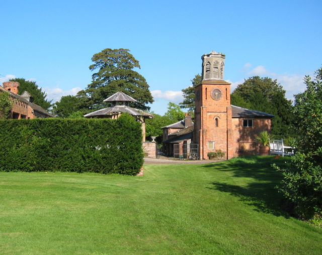
View towards Combermere Abbey cottages. Former stable block of Combermere Abbey; the Tudor-style buildings date from 1837 and have recently been converted into 11 holiday cottages. View from the east side of the abbey
The Comber Mere, by the Abbey. A large natural lake in Combermere Park, supposedly glacial in origin. The lake is a Site of Special Scientific Interest.
Abbot's House, Combermere Abbey. The stone-faced building on the left is the original Abbot's House of the Cistercian abbey. The timber building with hammerbeam roof dates from around 1500 and is grade I listed; the stone facing and Gothic ornamentation were added by Sir Stapleton Cotton (later Viscount Combermere) in 1814-20. The building is currently privately owned; public tours are available on Thursdays from April-September.


