Crowthorne Circular Woods and Lakes Walk
![]()
![]() This large Berkshire based village is located in a nice spot on the edge of Bracknell Forest. There's miles of local woodland trails and a couple of attractive country parks to visit in the area.
This large Berkshire based village is located in a nice spot on the edge of Bracknell Forest. There's miles of local woodland trails and a couple of attractive country parks to visit in the area.
This circular walk from the village visits two of the highlights of the area at Tri Lakes Country Park and Finchampstead Ridges.
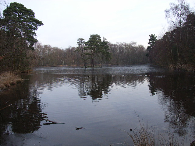
The walk starts from the public car park to the south of the village. From here you can head south west through the edge of Bracknell Forest and the Edgbarrow Woods Nature Reserve towards Little Sandhurst. Here you can pick up the Three Castles Path and follow the waymarked footpath through the Tri Lakes Park where there are a series of scenic lakes to admire. You could also take a small detour near here to visit Sandhurst where you can explore the memorial park and the Shepherd meadows on the River Blackwater Valley Footpath.
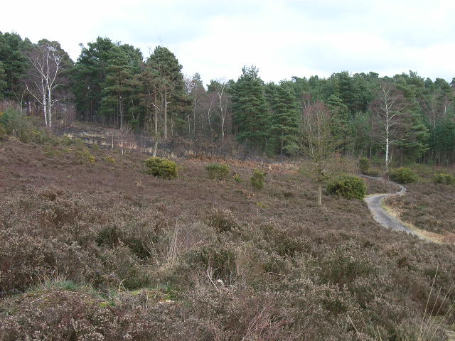
The route then heads north to take you to the National Trust's Finchampstead Ridges. There's a series of quiet woodland trails, fine views from the high points and a number of tranquil ponds to enjoy here. After exploring the ridges the route then heads east on public footpaths to return you to Crowthorne.
Please scroll down for the full list of walks near and around Crowthorne Circular Woods and Lakes Walk. The detailed maps below also show a range of footpaths, bridleways and cycle paths in the area.
Crowthorne Circular Woods and Lakes Walk Ordnance Survey Map  - view and print off detailed OS map
Crowthorne Circular Woods and Lakes Walk Open Street Map  - view and print off detailed map
*New* - Walks and Cycle Routes Near Me Map - Waymarked Routes and Mountain Bike Trails>>
Crowthorne Circular Woods and Lakes Walk OS Map  - Mobile GPS OS Map with Location tracking
Crowthorne Circular Woods and Lakes Walk Open Street Map  - Mobile GPS Map with Location tracking
Pubs/Cafes
The Crowthorne Inn dates from 1868 and is a good choice for some post walk refreshment. The pub has a good selection of ales and a nice garden area if the weather is fine. You can find them at 119 High Street with a postcode of RG45 7AD for your sat navs.
Dog Walking
The woodland and parkland trails are ideal for dog walking. The Crowthorne Inn mentioned above is also dog friendly.
Further Information and Other Local Ideas
The Wokingham Circular Walk passes through the area providing an opportunity to explore the area further on a long distance footpath.
For more walking ideas in the area see the Berkshire Walks page.
Cycle Routes and Walking Routes Nearby
Photos
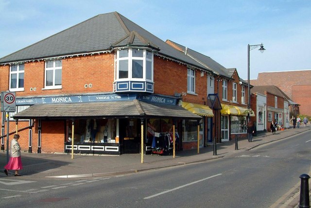
High Street & Heath Hill Road, Crowthorne The main subject, Monica's shop, used to be Sworder's Greengrocers and had crates of vegetables on display under the slate-roofed canopy. The low, false-fronted, building towards the right of the photograph, with the two white wings, used to be a small cinema but this was destroyed in the 1950s. Since the photograph was taken the site has been demolished and the Crowthorne Library and apartments now stand there. To the left,just beyond the Monica's, and many years ago, was Bucklers sports car factory.


