Sandhurst Walks
![]()
![]() This Berkshire based town is in an ideal spot for exploring the expansive Bracknell Forest and the River Blackwater Valley.
This Berkshire based town is in an ideal spot for exploring the expansive Bracknell Forest and the River Blackwater Valley.
The town is also well known as the based for the Royal Military Academy Sandhurst, the British Army's initial officer training centre.
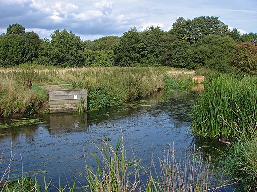
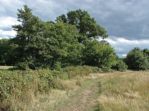
This walk in the town visits Shepherd Meadows and Sandhurst Memorial Park. These adjacent parks are located in the southern part of the town on the River Blackwater. There's some pleasant footpaths taking you around wet meadows, woodlands and the pretty Sandhurst Lake where you can look out for water loving birdlife.
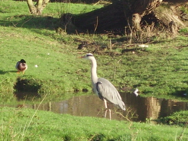
You can start the walk from the Memorial car park off Yorktown Road. It's located just east of the train station if you prefer to come by public transport. From the car park head south east to pass through the memorial park before picking up the Blackwater Valley Footpath into Shepherd Meadows. There's some lovely wildflowers and birds such as kestrels, warblers, spotted flycatchers and woodpeckers to see here. To extend the walk continue south east along the Blackwater Valley Footpath to neighbouring Camberley and Frimley where you can explore the wildlife rich Frimley Hatches Nature Reserve.
You can continue your walk by heading west to visit Horseshoe Lake, Tri Lakes Country Park and Finchampstead Ridges where there's some lovely National Trust woodland and heathland.
Postcode
GU47 9DP - Please note: Postcode may be approximate for some rural locationsSandhurst Ordnance Survey Map  - view and print off detailed OS map
Sandhurst Open Street Map  - view and print off detailed map
Sandhurst OS Map  - Mobile GPS OS Map with Location tracking
Sandhurst Open Street Map  - Mobile GPS Map with Location tracking
Walks near Sandhurst
- Crowthorne - This large Berkshire based village is located in a nice spot on the edge of Bracknell Forest
- Wellington Country Park - This 350 acre park is very popular with walkers with four splendid nature trails to follow
- Tri Lakes Country Park - Also known as the Yately Lakes this lovely country park near Sandhurst has some nice waterside trails to try
- Blackwater Valley Footpath - This is a nice easy waterside walk along the Blackwater River from Aldershot to Swallowfield.
The walk starts at the delightful Rowhill Nature Reserve in Aldershot and heads along the river to Farnborough, passing Gold Valley Lakes and Willow Park on the way - Bracknell Forest Ramblers Route - This circular walk takes you on a tour of the woodland and countryside of Bracknell Forest in Berkshire
- California Country Park - This country park is located near Wokingham in Berkshire and has two lovely short walks
- Finchampstead Ridges - This circular walk takes you through this peaceful common near Crowthorne
- Swinley Forest - This forest in Bracknell has miles of good walking trails and some good mtb trails as well
- Bagshot Park - This walk visits Bagshot Park and Rapley Lake on Bagshot Heath in Surrey
- Thames Path - Starting at the Source of the Thames at Thames Head in Gloucestershire, follow the iconic river through beautiful countryside and historic towns to the city of London.
- Kennet and Avon Canal Walk - A splendid waterside walk from the Thames at Reading, through Thatcham, Newbury, Hungerford, Great Bedwyn, Pewsey, Devizes, Bradford on Avon to Bath
- Dinton Pastures Country Park - Enjoy 7 lakes, 2 rivers, 3 bird hides and several meadows in this terrific 335 acre park in Hurst
- Wokingham Way - This long circular walk follows the Wokingham Borough unitary boundary visiting Reading, Bracknell and Henley-on-Thames.The walk takes you through Wokingham's most delightful areas including : the expansive Bracknell Forest, Tri Lakes Country Park and Wellington Country Park
- Ascot - The East Berkshire town of Ascot is famous for its racecourse and Royal Ascot meeting
- Camberley - The Surrey town of Camberley is nicely positioned on the edge of expansive woodland and heathland in the Blackwater Valley.
This walk from the town visits Swinley Forest and Bracknell Forest before heading to the pretty Tri Lakes Country Park - Three Castles Path - This long distance trail takes you from the castle at Windsor to the castle at Winchester, passing Odiham Castle on the way
- Henley-on-Thames - The popular market town of Henley-on-Thames has a number of excellent waymarked trails to try
- Horseshoe Lake - This walk visits Horseshoe Lake near Yateley and Sandhurst in Berkshire.
Photos
The Blackwater River passing under the Guildford to Reading railway line between Sandhurst and Yateley.


