Glossop Walks
![]()
![]() This popular market town is often referred to as the gateway to the Peak District National Park'. As such it's a walkers paradise with several waymarked trails, beautiful reservoirs and challenging hill climbs to try.
This popular market town is often referred to as the gateway to the Peak District National Park'. As such it's a walkers paradise with several waymarked trails, beautiful reservoirs and challenging hill climbs to try.
This long circular walk visits several of the highlights of the area, heading to the Longdendale Reservoirs before picking up the Pennine Way for a climb to Bleaklow Hill. The route then returns to Glossop along the course of an old Roman Road with wonderful moorland scenery to enjoy.
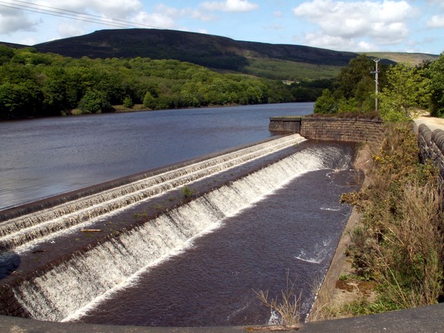
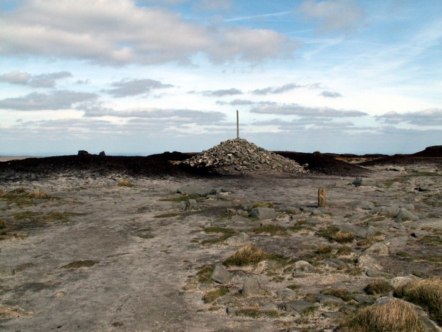
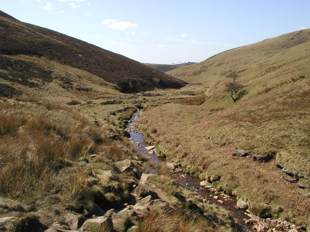
Starting in the town centre, near the train station, head through Manor Park in Old Glossop. You continue north past Swineshaw Reservoir to Padfield where you come to the Longdendale Reservoirs. This beautiful series of reservoirs have nice trails running along the southern side of the water including the splendid Longdendale Trail. Follow the paths past Bottoms, Woodhead, Valehouse and Rhodeswood reservoir. At Torside Reservoir you can pick up the Pennine Way to take you up to Torside Clough and then on to Bleaklow. The elevated largely peat covered, gritstone moorland, is popular with walkers with wonderful far reaching views over Greater Manchester, Lancashire, Cheshire and the Hope Valley.
After taking in the views, descend south to Hope Clough before turning west and following the Doctor's Gate Roman Road back into Glossop. There's wonderful views of Gathering Hill, the waters of the pretty Shelf Brook and the fine moorland scenery of Shelf Moor.
This walk meets up with the Snake Pass circular walk which explores Black Ashop Moor and the lovely Lady Clough Woods. It's a great way to extend your walking in the Glossop area.
Other good walks near Glossop include the popular climb to Kinder Scout, waterside paths along the nearby Peak Forest Canal and the fabulous Pennine Bridleway.


