Haddon Hall Walks
![]()
![]() This walk visits Haddon Hall near Bakewell and Over Haddon in the Derbyshire Peak District.
This walk visits Haddon Hall near Bakewell and Over Haddon in the Derbyshire Peak District.
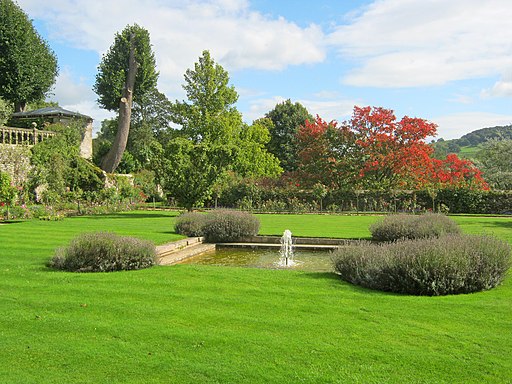
The hall has some lovely walking trails taking you around the Medieval Parkland. The Grade 1 listed park has remained largely undisturbed for hundreds of years and includes a diversity of habitats. Well laid out paths will take you to woodland, the River Wye, water meadows, a walled garden, wetlands and former stretches of farmland. At certain times you can enjoy guided walks and talks where you can learn all about the history and ecology of the park.
To reach the hall from Bakewell see the Bakewell to Haddon Hall Walk page.
To continue your parkland walking head north east to visit the famous Chatsworth Park where there's a wonderful deer park and riverside trails along the River Derwent.
Postcode
DE45 1LA - Please note: Postcode may be approximate for some rural locationsPlease click here for more information
Haddon Hall Ordnance Survey Map  - view and print off detailed OS map
Haddon Hall Open Street Map  - view and print off detailed map
*New* - Walks and Cycle Routes Near Me Map - Waymarked Routes and Mountain Bike Trails>>
Haddon Hall OS Map  - Mobile GPS OS Map with Location tracking
Haddon Hall Open Street Map  - Mobile GPS Map with Location tracking
Further Information and Other Local Ideas
Just to the east is the village of Beeley where you can explore the expansive Beeley Moor and visit the village's excellent 18th century coaching inn. Just to the north east of the moor there's the fascinating Hob Hurst's House. Here you will find an ancient Bronze Age burial mound and fine views from Harland Edge.
Cycle Routes and Walking Routes Nearby
Photos
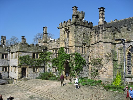
Haddon Hall. The fine country house on the River Wye is one of the seats of the Duke of Rutland. The hall originates from the 11th century with the medieval and Tudor hall dating from the 13th to the 17th centuries. Haddon Hall was used as the setting for Thornfield Hall in the 2006 BBC television version of Jane Eyre, starring Toby Stephens and Ruth Wilson.
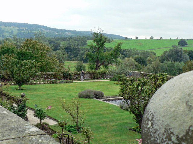
The river Wye, weir and footbridge. The river Wye, weir and footbridge Taken from the bottom of the terrace garden showing how the river Wye meanders through the estate and over a weir producing (allegedly)a perfect trout pool.


