Lambley Dumbles
![]()
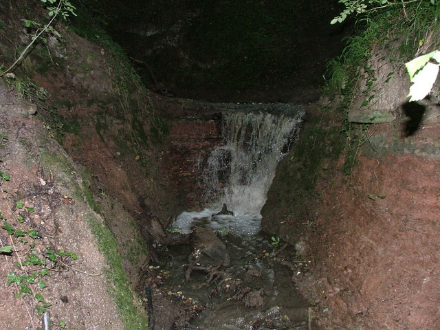
![]() This walk explores the delightful Lambley Dumbles in Nottinghamshire. The area is a lovely place for a walk with streams, waterfalls, ancient woodland and lots of interesting geology and flora to see.
This walk explores the delightful Lambley Dumbles in Nottinghamshire. The area is a lovely place for a walk with streams, waterfalls, ancient woodland and lots of interesting geology and flora to see.
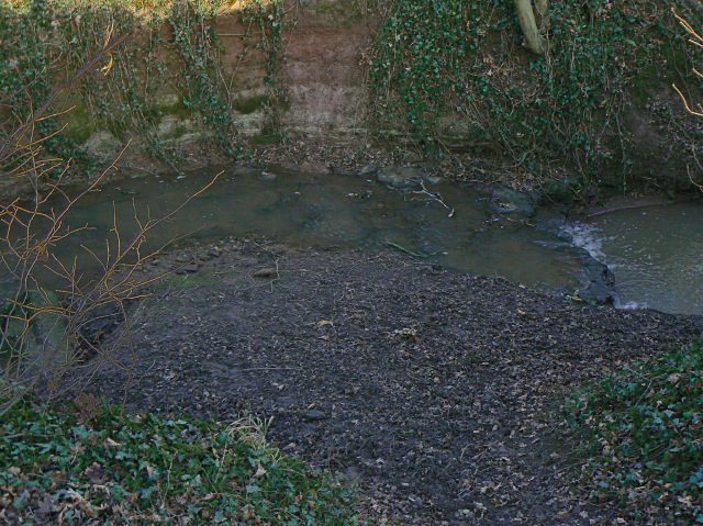
The walk starts in the village and then heads west to the Dumbles and Bonney Doles. Here you can pick up a circular footpath heading along both sides of the stream. There's information boards along the way which will tell you all about different plants and trees you can see on the walk. There's also a map with all the footpaths you can follow through the surrounding area. Here you'll find woodlands, orchards, rolling farmland and the scenic steep sided valleys known as the Dumbles. These valleys were formed at the end of the ice age when large amounts of thawing ice created the streams that carved out the valleys into the bedrock. The streams flow east into the village where they converge with the River Trent to form the Cocker Beck.
Postcode
NG4 4PN - Please note: Postcode may be approximate for some rural locationsLambley Dumbles Ordnance Survey Map  - view and print off detailed OS map
Lambley Dumbles Open Street Map  - view and print off detailed map
Lambley Dumbles OS Map  - Mobile GPS OS Map with Location tracking
Lambley Dumbles Open Street Map  - Mobile GPS Map with Location tracking
Pubs/Cafes
In Lambley village there's a couple of good options for post walk refreshment. You could head to The Woodlark Inn where there's delicious fish dishes and an outdoor seating area. You can find them on Church Street at postcode NG4 4QB. There's also The Lambley which has a nice garden and does a fine Sunday Roast. You can find them on Main Street at postcode NG4 4PN
Dog Walking
The woodland and country trails make for a nice dog walk. The Lambley and The Woodlark pubs mentioned above are also very dog friendly with water and treats available at the latter.
Further Information and Other Local Ideas
Just to the east there's the neighbouring village of Lowdham where you can explore the scenic valley of the Cocker Beck.
Head a little further east from the village and you can pick up the popular Trent Valley Way. Here you can visit the riverside villages of Gunthorpe, Radcliffe on Trent, Fiskerton, Rolleston and Shelford and visit the large lakes at Holme Pierrepont Country Park near West Bridgford.
For more walking ideas in the area see the Nottinghamshire Walks page.
Cycle Routes and Walking Routes Nearby
Photos
Dumbles wildlife. The information board at the site, detailing the trees and plants you can see here. This includes mosses, liverworts, ferns, golden saxifrage, ancient oak woodland, yellow archangel and wood anenome. In the spring and summer there are also lots of lovely wildflowers including violets and celandines.
Lambley Village. Viewed from the mound on Round Hill. The village nestles in the bottom of the Cocker Beck valley where it splits into the two Lambley 'Dumbles'. The steep sided valley has been cut out of glacial deposits by the streams.
Bonney Doles. This field has been traditionally managed and retained as a traditional flower meadow. The striping from last year's hay cut shows that it was once part of one of the medieval village fields cultivated on the ridge and furrow system. It is designated as open access land. Part of the area has been planted as woodland.
Top Dumble. Seen from the ridge to the south of the Dumble. The stream runs in a deep cut among the trees; these have been able to flourish as a remnant of mature woodland because the banks are too steep for agriculture.


