Blewbury and Blewburton Hill Walk
![]()
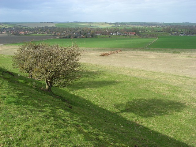
![]() This walk from the Oxfordshire village of Blewbury visits the Iron Age Hillfort at Blewburton Hill. The hill is located a short distance to the east of the village and the walk includes a visit to the nearby village of Aston Tirrold. It's a 3 mile walk with a small climb and some nice views over the surrounding Oxfordshire countryside to enjoy on the way.
This walk from the Oxfordshire village of Blewbury visits the Iron Age Hillfort at Blewburton Hill. The hill is located a short distance to the east of the village and the walk includes a visit to the nearby village of Aston Tirrold. It's a 3 mile walk with a small climb and some nice views over the surrounding Oxfordshire countryside to enjoy on the way.
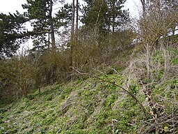
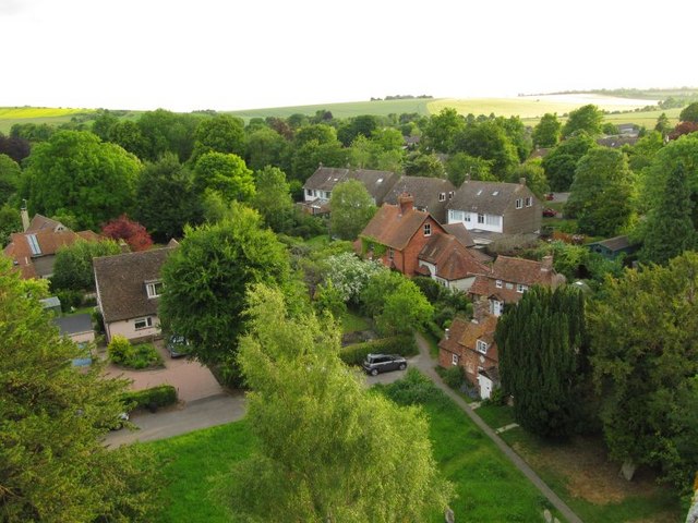
The walk starts in the village of Blewbury, located just to the south of Didcot in the North Wessex Downs. From here you can pick up footpaths heading east up to Blewburton Hill. The univallate hill fort may have been occupied from the 4th century BC to the 1st century BC. Interesting finds at the site include Neolithic or Early Bronze Age flints recovered during excavations, and a polished stone axe found in the ditch near the entrance. Although there was no Roman occupation of the hilltop, a number of fragments of Roman pottery were recovered, dating to the 1st century AD, and the 3rd–4th centuries AD.
After exploring the hill the walk descends to the village of Aston Tirrold where you could stop for refreshments at the local pub. The walk then returns to Blewbury on the same paths.
To continue your walking in the area head south and pick up our Streatley Circular Walk which uses part of The Ridgeway National Trail. You could also head to nearby Goring and enjoy a riverside walk along the Thames Path.
Blewbury Ordnance Survey Map  - view and print off detailed OS map
Blewbury Open Street Map  - view and print off detailed map
Blewbury OS Map  - Mobile GPS OS Map with Location tracking
Blewbury Open Street Map  - Mobile GPS Map with Location tracking
Walks near Blewbury
- Thames Path - Starting at the Source of the Thames at Thames Head in Gloucestershire, follow the iconic river through beautiful countryside and historic towns to the city of London.
- Goring - This riverside village in South Oxfordshire is ideally located for walking with two National Trails passing through the area
- Streatley - A circular walk from Streatley, climbing onto the Ridgeway Hills to the west of the town before looping round across Cholsey Downs and returning via the River Thames
- Didcot - The Oxfordshire town of Didcot has some nice trails to follow into the surrounding Chilterns countryside.
This walk visits some of the highlights of the area using a mixture of country lanes, public footpaths and waymarked long distance trails - Wittenham Clumps - This circular walk climbs to these two distinctive hills near Dorchester
- Dorchester Circular Walk - The delightful Oxfordshire town of Dorchester on Thames has some lovely footpaths to follow through the surrounding countryside and woodland
- The Ridgeway - Step back in time on this wonderful 85 mile route which follows an ancient chalk ridge route used by prehistoric man The trail starts at Overton Hill in Wiltshire on the edge of the Marlborough Downs and heads east through the Chiltern Hills to Ivinghoe Beacon in Buckinghamshire
- Blewbury-Churn-Hill-East-Illsley-Down - This attractive Oxfordshire based village is surrounded by public footpaths taking you to some lovely countryside and hills.
- Wantage - The Oxfordshire town of Wantage is in a great location for exploring a lovely section of the Ridgeway
- Ardington - This pretty village is located in the Vale of White Horse in Oxfordshire, just to the east of Wantage
- Letcombe Regis - This Oxfordshire based village includes a pleasant local nature reserve and a noteworthy Iron Age hill fort on the Ridgeway National Trail.
- East Hendred - This rural village in Oxfordshire is located in the North Wessex Downs AONB and the historic Vale of White Horse near the settlements of Ardington and Wantage
- Aldworth - This rural village in Berkshire sits just to the west of Streatley, near the border with Oxfordshire.
Pubs/Cafes
Back in the village you can enjoy refreshment at the Blueberry. They serve particularly delicious pizzas from their wood fired pizza oven. Outside their's a sun trap garden for warmer days. You can find them on London Road at postcode OX11 9NU for your sat navs.
There's also the historic Red Lion which dates all the way back to 1612. There's a charming olde worlde interior here with a cosy, oak-beamed, a working Inglenook fireplace and flagstone floors. There's also a beautiful orchard garden with views over neighbouring fields. You can find them on Chapel Lane with a postcode of OX11 9PQ.
Dog Walking
The country trails make for a fine dog walk and the two village pubs mentioned above are also dog friendly.
Further Information and Other Local Ideas
The village is well-known for its literary and artistic connections. Famous authors include Kenneth Grahame (Wind In The Willows) and the ex-jockey and thriller writer, Dick Francis. Agatha Christie also lived in the nearby village of Cholsey.
The Blewbury-Churn-Hill-East-Illsley-Down Walk climbs to another viewpoint to the south of the village.
Head north and you could pick up the Didcot Walk and visit the interesting Didcot Railway Centre, the scenic hills of Wittenham Clumps, the River Thames and the interesting Roman town of Dorchester.
Just to the west you'll find the interesting village of Chilton. Near here you can pick up the epic Ridgeway National Trail, one of the walking highlights of the area.
For more walking ideas in the area see the Oxfordshire Walks, North Wessex Downs Walks page.


