Longnor Walks
![]()
![]() The village of Longnor is based in a lovely part of the Staffordshire Peak District. This circular walk visits some of the highlights of the area including the River Manifold, the River Dove and the prominent hill of High Wheeldon. There's some gorgeous rolling countryside and fine, far reaching views from the high points to enjoy.
The village of Longnor is based in a lovely part of the Staffordshire Peak District. This circular walk visits some of the highlights of the area including the River Manifold, the River Dove and the prominent hill of High Wheeldon. There's some gorgeous rolling countryside and fine, far reaching views from the high points to enjoy.
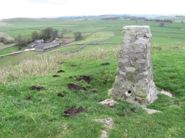
The walk starts in the village centre and follows Green Lane north east towards High Wheeldon, crossing the River Dove on the way. The distinctive dome-shaped hill sits close to the Staffordshire border in Derbyshire, in the valley of Upper Dovedale, overlooking the villages of Earl Sterndale, Longnor and Crowdecote. From the 422 metre (1387 ft) summit there are wonderful views of the Dove and Manifold valleys.
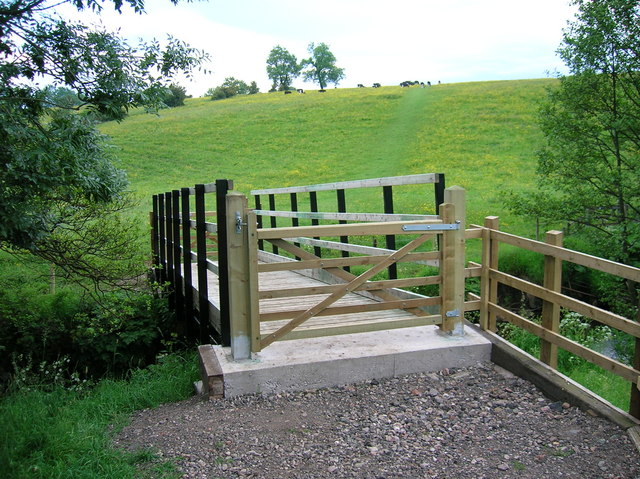
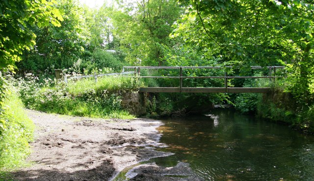
The route then descends south to the village of Crowdecote. Here you cross a pretty section of the River Dove before continuing south toward Under Whitle. The route then turns west towards Over Boothlow before picking up a footpath along the River Manifold to take you back to Longnor.
To continue your walking in the area you could head a short distance to the north west and climb Chrome Hill. It's a popular walk which also visits Parkhouse Hill and starts from the nearby village of Earl Sterndale.
Three long distance trails also pass close to the village. Just to the east you can pick up the Midshires Way, the Pennine Bridleway and the High Peak Trail to further explore the area.
Postcode
SK17 0NS - Please note: Postcode may be approximate for some rural locationsLongnor Ordnance Survey Map  - view and print off detailed OS map
Longnor Open Street Map  - view and print off detailed map
Longnor OS Map  - Mobile GPS OS Map with Location tracking
Longnor Open Street Map  - Mobile GPS Map with Location tracking
Walks near Longnor
- High Wheeldon - This walk climbs High Wheeldon Hill in the Upper Dove Valley area of the Peak District
- Chrome Hill - This circular walk climbs the beautiful Chrome Hill in the Upper Dove valley area of the Peak District
- Midshires Way - This route follows public bridleways and quiet country lanes through Middle England, from Bledlow, near Aylesbury in Buckinghamshire, to Stockport in Greater Manchester
- Pennine Bridleway - This fabulous 120 mile long trail runs through the beautiful Derbyshire Peak District, through Lancashire and on into Yorkshire.
It is suitable for mountain bikers, horse riders and walkers taking you on a tour through some of the most beautiful parts of the country - High Peak Trail - This splendid, shared walking and cycle trail follows a disused railway line from Cromford to Dowlow through the beautiful Peak District.
The trail starts near Cromford railway station and climbs through the stunning High Peak area of Derbyshire giving fabulous views of the area.
The trail links with the popular Tissington Trail at High Peak Junction - Poole's Cavern and Buxton Country Park - A walk around Buxton Country Park and a visit to Poole's Cavern - a natural limestone cave used as a lair by an outlaw in the fifteenth century
- Buxton - The popular spa town of Buxton has a number of waymarked trails taking you though this beautiful area of the Peak District
- Three Shires Head - Explore this beautiful section of the Dane Valley and enjoy rivers, old stone bridges and waterfalls on this lovely walk in the Peak District.
Three Shires Head is a point on Axe Edge Moor where the counties of Cheshire, Derbyshire and Staffordshire meet - Hartington - This pretty village is a great base for exploring some of the highlights of the popular Dove Dale area of the Peak District
- Hurdlow - This circular walk explores the area surrounding the hamlet of Hurdlow in the Peak District
- Chelmorton - This circular walk explores the area around the Peak District village of Chelmorton near Buxton in the White Peak
- Hollinsclough - This Peak District village is located in a fine spot for scenic walks in the National Park.
- Solomon's Temple - This circular walk climbs to a splendid viewpoint and folly in Buxton Country Park in Derbyshire.
Pubs/Cafes
Head to Ye Old Cheshire Cheese for some post walk refreshments. The early 19th century pub serves good food and has a fine selection of ales. There's also a nice beer garden for warmer days. You can find them at postcode SK17 0NS for your sat navs.
Dog Walking
The river and hill trails make for a fine walk for fit dogs. Ye Old Cheshire Cheese mentioned above is also dog friendly.
Further Information and Other Local Ideas
Head south east towards Hartington and you could visit the lovely Beresford Dale, Wolfscote Dale and the hugely popular Dovedale.
For more walking ideas in the area see the Staffordshire Walks and the Peak District Walks pages.
Photos
The Cheshire Cheese at Longnor. The village is famous as the filming location for the tv series Peak Practice.


