Morfa Bychan Walks
![]()
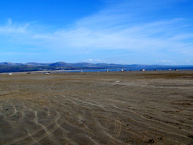
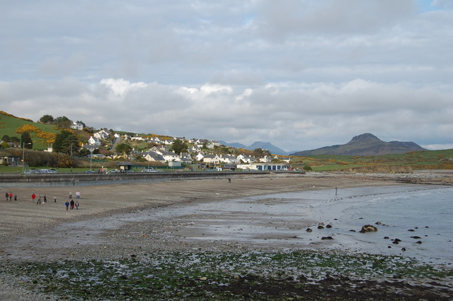
![]() This delightful village is located on the Llyn Peninsula in Gwynedd. The village is well known for its splendid long beach which stretches for two miles from Ynys Cyngar on the River Glaslyn estuary along Tremadog Bay to Criccieth beach.
This delightful village is located on the Llyn Peninsula in Gwynedd. The village is well known for its splendid long beach which stretches for two miles from Ynys Cyngar on the River Glaslyn estuary along Tremadog Bay to Criccieth beach.
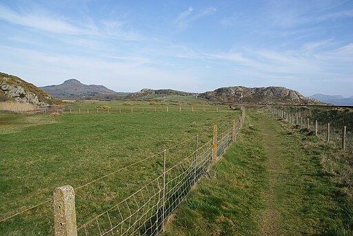
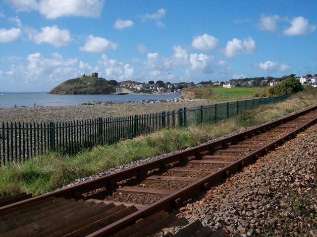
This walk from the village follows a section of the Llyn Coastal Path to neighbouring Criccieth where you can visit the 13th century Criccieth Castle ruins and the grave of former Prime Minister David Lloyd George.
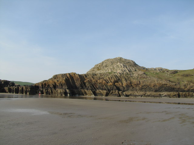
The walk starts from the car park at Black Rock Sands. The wide sandy beach is a real highlight of the area with sand dunes, a large multi-coloured headland rock, low-tide caves, rock pools, and a variety of marine life.
From here you head west across the beach to Graig Ddu, the Black Rock. From the imposing rock there are some fine views to the mountains of Snowdonia. The trail then runs along the railway line before coming into Criccieth.
To continue your walking in the area head east to visit the lovely village of Borth-Y-Gest where there's a picturesque harbour and some fine beaches.
Morfa Bychan Ordnance Survey Map  - view and print off detailed OS map
Morfa Bychan Open Street Map  - view and print off detailed map
Morfa Bychan OS Map  - Mobile GPS OS Map with Location tracking
Morfa Bychan Open Street Map  - Mobile GPS Map with Location tracking
Walks near Morfa Bychan
- Llyn Coastal Path - Follow the Llyn Peninsula from Caernarfon to Porthmadog on this stunning coastal walk
- Criccieth - This circular walk explores the coast and countryside surrounding the town of Criccieth in the Eifionydd area of Gwynedd
- Porthmadog - This attractive coastal town in Gwynedd has some lovely coastal walking paths and beautiful beaches to explore
- Porthmadog to Portmeirion - This walk takes you from Porthmadog to the delightful Italian style village of Portmeirion on the other side of the estuary of the Afon Glaslyn
- Portmeirion - Enjoy a walk around this popular tourist attraction built in the style of an Italian village
- Moel y Gest - This hill near Porthmadog offers fine views over North Wales including the Llyn Peninsula, the Rhinogydd, Moelwynion, Moel Hebog, and Snowdon.
This walk starts at the lovely harbour in Porthmadog and follows the coastal path south to Borth-Y-Gest - Cnicht - Climb to the 'Matterhorn of Wales' on this challenging walk from the village of Croesor in Gwynedd
- Llanystumdwy - This little Welsh village is located in a fine spot on the Llyn Peninsula near Criccieth and Pwllheli.
- Penrhyndeudraeth - This Gwynedd based town sits in a pleasant spot close to the mouth of the Afon Dwyryd

