Circular Walk Around Porthmadog
![]()
![]() This attractive coastal town in Gwynedd has some lovely coastal walking paths and beautiful beaches to explore.
This attractive coastal town in Gwynedd has some lovely coastal walking paths and beautiful beaches to explore.
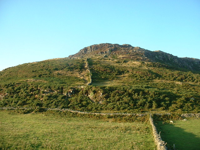
This circular walk around the town takes you along waymarked coastal paths before heading inland to climb Moel y Gest for fine views over the Llyn Peninsula.
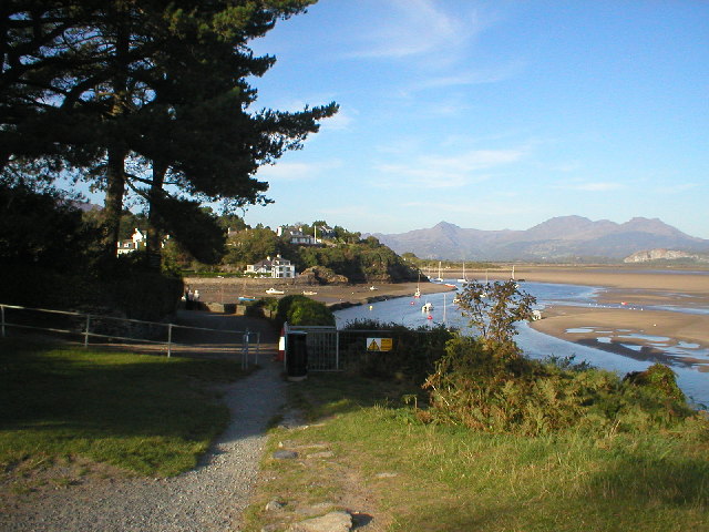
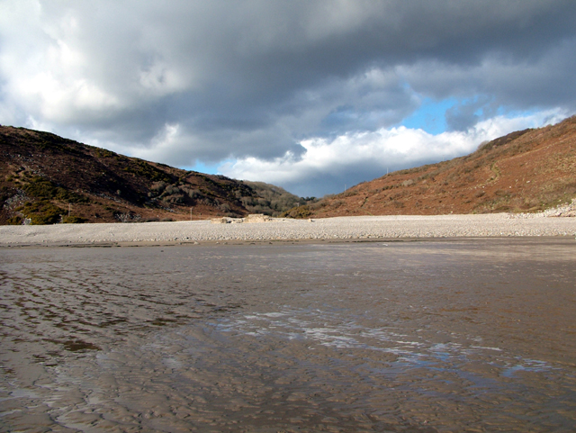
The walk starts at Porthmadog Harbour and heads south along the Llyn Coastal Path and the Wales Coast Path. The trail takes you past Borth-Y-Gest to the expansive Black Rock Sands beach at Morfa Bychan. Here you can follow the path along the beach, passing the sand dunes and the cliffs. The path then leaves the cliffs and heads inland on public footpaths and country lanes toward Moel y Gest. The summit stands at a height of 263 m (863 ft), offering fine views over the Llŷn Peninsula, the Rhinogydd, Moelwynion, Moel Hebog, and Snowdon. At the top you will also find a hillfort which shows some resemblance to the "nuclear forts" of the Early Middle Ages found in Scotland.
After enjoying the views the route descends back to the coast path which you can follow back to Porthmadog.
To continue your walking in the area you can try the Porthmadog to Portmeirion Walk which takes you over the estuary of the Afon Glaslyn to the picturesque Italian style village of Portmeirion. Following the Llyn Coastal Path west will take you to Criccieth where you can enjoy another nice beach and visit the ruins of Criccieth Castle.
Postcode
LL49 9AT - Please note: Postcode may be approximate for some rural locationsPorthmadog Ordnance Survey Map  - view and print off detailed OS map
Porthmadog Open Street Map  - view and print off detailed map
Porthmadog OS Map  - Mobile GPS OS Map with Location tracking
Porthmadog Open Street Map  - Mobile GPS Map with Location tracking
Walks near Porthmadog
- Porthmadog to Portmeirion - This walk takes you from Porthmadog to the delightful Italian style village of Portmeirion on the other side of the estuary of the Afon Glaslyn
- Portmeirion - Enjoy a walk around this popular tourist attraction built in the style of an Italian village
- Llyn Coastal Path - Follow the Llyn Peninsula from Caernarfon to Porthmadog on this stunning coastal walk
- Moel y Gest - This hill near Porthmadog offers fine views over North Wales including the Llyn Peninsula, the Rhinogydd, Moelwynion, Moel Hebog, and Snowdon.
This walk starts at the lovely harbour in Porthmadog and follows the coastal path south to Borth-Y-Gest - Criccieth - This circular walk explores the coast and countryside surrounding the town of Criccieth in the Eifionydd area of Gwynedd
- Cnicht - Climb to the 'Matterhorn of Wales' on this challenging walk from the village of Croesor in Gwynedd
- Llanystumdwy - This little Welsh village is located in a fine spot on the Llyn Peninsula near Criccieth and Pwllheli.
- Penrhyndeudraeth - This Gwynedd based town sits in a pleasant spot close to the mouth of the Afon Dwyryd
- Borth-Y-Gest - This coastal Gwynedd village is located just south of Porthmadog in the Snowdonia National Park.
- Morfa Bychan - This delightful village is located on the Llyn Peninsula in Gwynedd
Pubs/Cafes
The Tafarn Pencei is a Grade II listed pub dating to the 1820s. They are located by the picturesque quayside and Maritime Museum at postcode LL49 9AT. The pub serves good food and is also dog friendly.
In Borth-y-Gest you could stop off at The Seaview Cafe Bistro & Coffee Lounge. The cafe occupies two premises adjacent to one another- one providing full dine in service & the other fully take away. They serve a good range of quality meals which you can enjoy with a lovely view of the village and the coast. They are dog friendly we even sell dog friendly ice cream. You can find them at postcode LL49 9TR for your sat navs.
Further Information and Other Local Ideas
The Ffestiniog Railway is one of the major attractions of the area and a must for train enthusiasts. The heritage railway runs from the harbour at Porthmadog to the slate mining town of Blaenau Ffestiniog, travelling through beautiful forested and mountainous scenery.
On the railway you could also stop off at Maentwrog. Here you'll find the beautiful Plas Tan y Bwlch Gardens at the Snowdonia National Park environmental studies centre. It's a fine place for a walk with the picturesque Llyn Mair to see as well.
For more walking ideas in the area see the Snowdonia Walks page.
Photos
Morfa Bychan. This is Morfa bychan caravan park on the Cardigan bay coast line near Aberystwyth which can be seen in the distance on the right of the photo
Cliffs near Graig Ddu, Morfa Bychan A view of the heavily stratified cliffs of Graig Ddu, Morfa Bychan, complete with clear, cloudless blue sky. View taken on the beach looking north-east while on a geography course at the Rhyd-y-Creuau fieldwork centre.


