Penrhyndeudraeth Walks
![]()
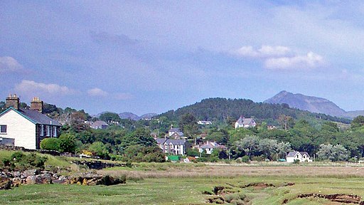
![]() This Gwynedd based town sits in a pleasant spot close to the mouth of the Afon Dwyryd. It is also located on the Ffestiniog Railway, a splendid heritage steam railway running into the surrounding Snowdonia National Park.
This Gwynedd based town sits in a pleasant spot close to the mouth of the Afon Dwyryd. It is also located on the Ffestiniog Railway, a splendid heritage steam railway running into the surrounding Snowdonia National Park.
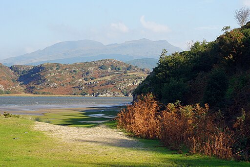
This walk explores the area around Pont Briwet to the south east of the town. Here you will find some lovely footpaths along the River Dwyryd estuary. In this area there's some lovely views across the sandy/muddy estuary to the surrounding rocky hills and mountains of Snowdonia.
The walk then continues east to visit the pretty Llyn Tecwyn Uchaf where there are
more nice waterside paths and views.
To continue your walking in the area head east to visit neighbouring Maentwrog Walk. Here you'll find the beautiful Plas Tan y Bwlch Gardens at the Snowdonia National Park environmental studies centre. It's a fine place for a walk with the picturesque Llyn Mair to see as well.
Penrhyndeudraeth Ordnance Survey Map  - view and print off detailed OS map
Penrhyndeudraeth Open Street Map  - view and print off detailed map
*New* - Walks and Cycle Routes Near Me Map - Waymarked Routes and Mountain Bike Trails>>
Penrhyndeudraeth OS Map  - Mobile GPS OS Map with Location tracking
Penrhyndeudraeth Open Street Map  - Mobile GPS Map with Location tracking
Walks near Penrhyndeudraeth
- Maentwrog - This delightful village is located in a fine position in the Vale of Ffestiniog in Snowdonia
- Blaenau Ffestiniog - This old slate mining town is located in Gwynedd in the Snowdonia National Park.
- Porthmadog - This attractive coastal town in Gwynedd has some lovely coastal walking paths and beautiful beaches to explore
- Gwydyr Forest - This large area of woodland encircles the popular village of Betws y Coed in the Snowdonia National Park
- Cwmorthin - This walk visit visits the Cwmorthin Quarry and the adjacent lake in Tanygrisiau, north Wales
- Tanygrisiau - This circular walk takes you around Tanygrisiau Reservoir in North Wales
- Llyn Trawsfynydd - Enjoy a long circular walk or cycle around this large lake in Gwynedd, North Wales
- Cnicht - Climb to the 'Matterhorn of Wales' on this challenging walk from the village of Croesor in Gwynedd
- Cwm Penmachno - This North Wales village sits in a remote location at the at the head of the River Machno
- Llyn Stwlan Dam - This circular walk takes you to the Llyn Stwlan Reservoir Dam near Tanygrisiau in Gwynedd, north-west Wales
- Portmeirion - Enjoy a walk around this popular tourist attraction built in the style of an Italian village
- Porthmadog to Portmeirion - This walk takes you from Porthmadog to the delightful Italian style village of Portmeirion on the other side of the estuary of the Afon Glaslyn
- Cwm Prysor Viaduct Walk - This walk visits the Cwm Prysor Viaduct in Gwynedd, North Wales
Photos
Penrhyndeudraeth - Minffordd Station. The present substantial stone built Ffestiniog Railway station buildings at Minffordd are on the "up" platform and date from 1887. There was a small wooden building on the "down" platform and this building, possibly dating from the 1870s, was in a derelict condition when it was demolished in 1956. A replica was completed in spring 2002 and was later shortlisted in the National Railway Heritage Awards 2002.


