Nefyn Walks
![]()
![]() This small coastal town is located in a lovely spot on the Llyn Peninsula. It's great for walkers with a pretty harbour, miles of cliff top coastal paths and beautiful beaches to explore.
This small coastal town is located in a lovely spot on the Llyn Peninsula. It's great for walkers with a pretty harbour, miles of cliff top coastal paths and beautiful beaches to explore.
This walk from the town takes you along the Llyn Coastal Path to visit the beautiful Porthdinllaen.
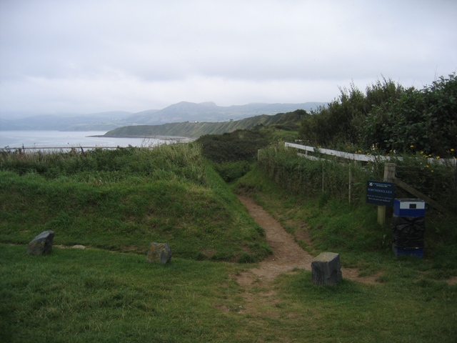
The walk starts in the town centre and picks up the Llyn Coastal Path to head west along the beach towards Penrhyn Nefyn. You continue along the Morfa Nefyn and Porthdinllaen beach before coming to the headland. You can follow a footpath up to the lifeboat station in this scenic National Trust run area. On the coastal stretch look out for several species of sea birds including oystercatchers, sand martins and cormorants. Grey seals can also be spotted here.
After exploring the headland you head through Morfa Nefyn before returning along the cost to the town.
Postcode
LL53 6EA - Please note: Postcode may be approximate for some rural locationsNefyn Ordnance Survey Map  - view and print off detailed OS map
Nefyn Open Street Map  - view and print off detailed map
Nefyn OS Map  - Mobile GPS OS Map with Location tracking
Nefyn Open Street Map  - Mobile GPS Map with Location tracking
Pubs/Cafes
Back in the town you could head to the Nanhoron Arms for some post walk refreshment. There are two nice bars here and a garden for warmer days. You can find them on St Davids Road at postcode LL53 6EA.
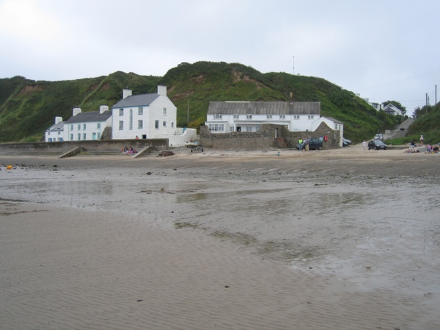
On the route at Porthdinllaen you could stop off at the Tŷ Coch Inn. The excellent pub is one of the best in Wales and was named in the top ten beach bars in the world in a recent survey. It's located next to the beach where you can sit outside and look out for seals in the water. There's also wonderful views over the Irish Sea to The Rivals here. You can find the inn at postcode LL53 6DB for your sat navs.
Dog Walking
The coastal path makes for a fine dog walk and the Tŷ Coch Inn mentioned above is also dog friendly.
Further Information and Other Local Ideas
If you head east from the village you could visit Mynydd Nefyn Forest and enjoy a climb to Mynydd Nefyn. There's great views over the area from this elevated spot above the town.
Head north along the coast path and you could visit climb to the wonderful hill fort at Trer Ceiri and the substantial peak of Yr Eifl. The unusual landscape at the Trefor Quarry can also be visited near here. There's wonderful views back to the coast and some fascinating history to be found in this area.
If you head a few miles to the south you'll come to the southern side of the peninsula where you can visit the coastal settlements of Pwllheli, Llanbedrog and Abersoch.
The Garn Boduan Walk starts from the village. It will take you up to the viewpoint and Iron Age Hill fort located just south of the settlement.
A few miles to the south there's the inland climb to the remote Garn Fadryn. There's an Iron Age Hillfort and some incredible views from the top of this peaceful hill.
For more walking ideas in the area see the Llyn Peninsula Walks page.
Cycle Routes and Walking Routes Nearby
Photos
The western section of Nefyn beach. The wide flat beach has developed on a wave cut platform created by the retreat of the boulder clay cliffs.
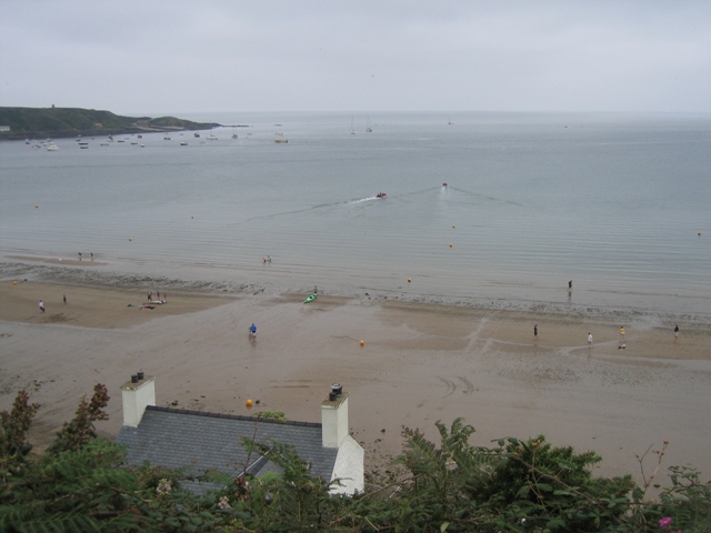
Above the houses at Bwlch y Brudyn. Looking out to sea across Porth Dinllaen from the Llŷn Coastal Path/Llwybr Arfordir Llŷn above the houses at Bwlch y Brudyn. The wide area between the two lines of yellow marker buoys is where power boats may be launched.
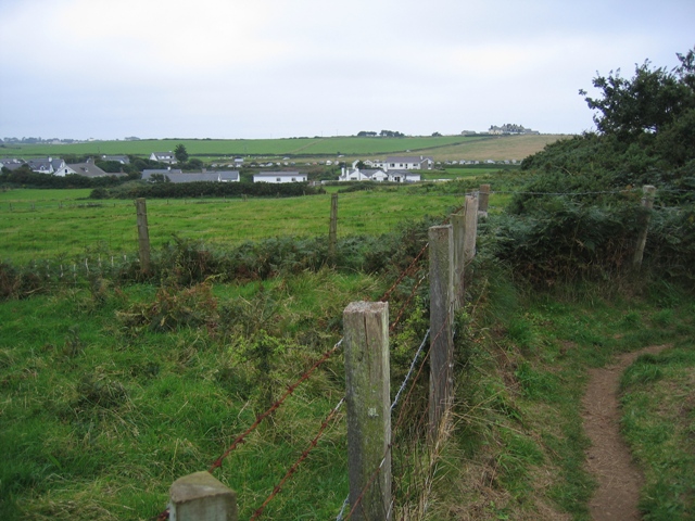
Houses at Bwlch y Brudyn Looking inland towards the houses at the bottom of Lon Bryddyn/Beach Road. Boats are launched across the beach here, either by tractor or four wheel drive vehicles.


