Sandford on Thames Walks
![]()
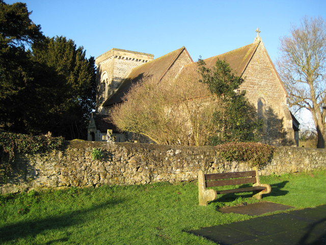
![]() This pretty riverside village is located just to the south of the famous University city of Oxford.
This pretty riverside village is located just to the south of the famous University city of Oxford.
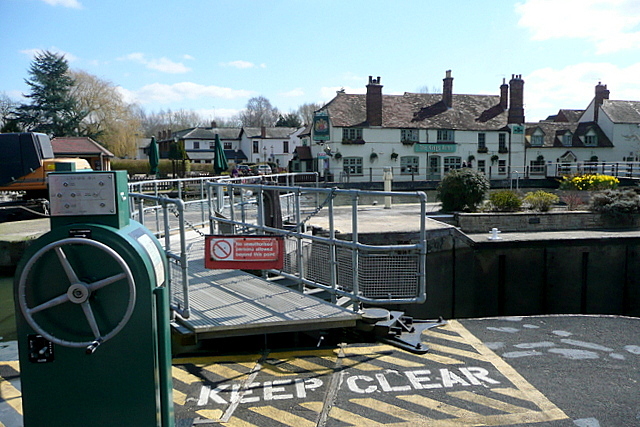
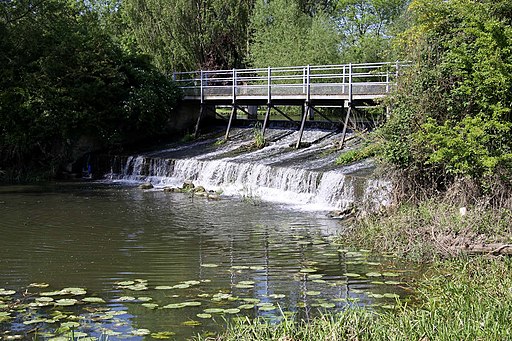
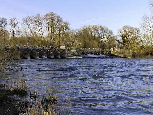
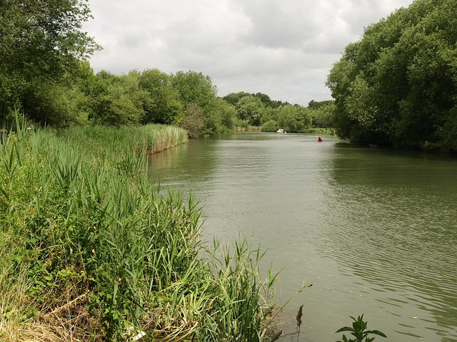
This circular walk from the village explores the River Thames and Sandford Lock to the west of the settlement. It's a very pretty area with little islands, weirs and lovely views of the surrounding countryside. There's also a fine riverside pub to relax in after your exercise.
The walk starts from the parking area at Sandford Lock and then heads north along a section of the Thames Path to Fiddler's Elbow, a small island in the river. You can then follow other paths along the pretty Sandford Pool before returning to the village.
To continue your walking in the area head south to visit Harcourt Arboretum. It's a delightful place for a stroll with wildflower meadows, rhododendrons and bluebell woods to see.
Sandford on Thames Ordnance Survey Map  - view and print off detailed OS map
Sandford on Thames Open Street Map  - view and print off detailed map
*New* - Walks and Cycle Routes Near Me Map - Waymarked Routes and Mountain Bike Trails>>
Sandford on Thames OS Map  - Mobile GPS OS Map with Location tracking
Sandford on Thames Open Street Map  - Mobile GPS Map with Location tracking
Walks near Sandford on Thames
- Oxford River Walk - Enjoy a nice easy stroll from Oxford to Abingdon on this walk along a nice section of the Thames Path
- Oxford Canal Walk - Follow the Oxford Canal from Oxford to Coventry on this splendid waterside walk
- Rousham Park - Explore the beautiful gardens surrounding this 17th century country house near Oxford
- Port Meadow - This lovely area in Oxford has nice walking trails along the Thames and attractive meadowland with grazing ponies and horses
- Rugby - This circular walk takes you around the Warwickshire town of Rugby, taking in the Oxford Canal and the Great Central Walk Nature Reserve.
Starting at the train station you head north east to pick up the canal - Thrupp Canal Walk - A nice circular walk along the Oxford Canal around the settlements of Thrupp and Shipton-on-Cherwell, just north of Oxford
- Kidlington Circular Walk - This walk takes you around the pretty village of Kidlington near Oxford
- Braunston to Whilton Locks - This walk visits the Whilton Locks flight on the Grand Union Canal near Daventry
- Coventry Canal - Enjoy waterside cycling and walking along the 38 mile long Coventry Canal towpath
- Coventry - This long circular walk uses a mixture of waymarked footpaths and minor roads to take you to some of the highlights of the city
- Farnborough Hall - This National Trust owned site is located in the village of Farnborough in rural Warwickshire.
- Napton on the Hill - This Warickshire based village is in a fine location for canal, country and lakeside walking
- Napton Reservoir - This walk visits Napton Reservoir near the village of Napton on the Hill in Warwickshire
- Harcourt Arboretum - This beautiful arboretum near Oxford has a series of well laid out footpaths to try
- Radley Lake - This circular walk explores the Radley Lakes near Abingdon in Oxfordshire
- Upper And Lower Heyford Canal Walk - This walk visits the pretty Oxfordshire villages of Upper And Lower Heyford.
Pubs/Cafes
The Kings Arms is situated in a great location right next to the river. They serve good food which you can enjoy in the lovely garden with a view over the water. You can find them at postcode OX4 4YB for your sat navs.
