Settle Riverside Walk Map
![]()
![]() This walk takes you along the River Ribble from the Yorkshire town of Settle to its near neighbour at Stainforth.
This walk takes you along the River Ribble from the Yorkshire town of Settle to its near neighbour at Stainforth.
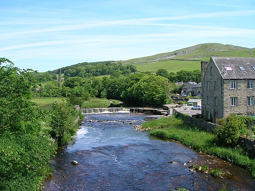
The riverside walk follows the route of the Ribble Way, a long distance waymarked footpath running through the area. The route runs along a fairly flat path for a distance of just under 4 miles. Along the way there's rushing weirs and lovely views over the surrounding Yorkshire countryside.
The walk starts at the train station and heads west to cross the river at Penny Bridge. Here you can pick up the Ribble Way and follow the trail north towards Langcliffe and Stainforth. Here you can enjoy views of the photogenic Stainforth Force Waterfall before finshing in the village.
Settle Riverside Walk Ordnance Survey Map  - view and print off detailed OS map
Settle Riverside Walk Open Street Map  - view and print off detailed map
Settle Riverside Walk OS Map  - Mobile GPS OS Map with Location tracking
Settle Riverside Walk Open Street Map  - Mobile GPS Map with Location tracking
Further Information and Other Local Ideas
The Dales High Way passes through the town. This long distance waymarked trail explores many of the highlights of the Dales, running from Saltaire to Appleby-in-Westmorland for a distance of approximately 90 miles.
Cycle Routes and Walking Routes Nearby
Photos
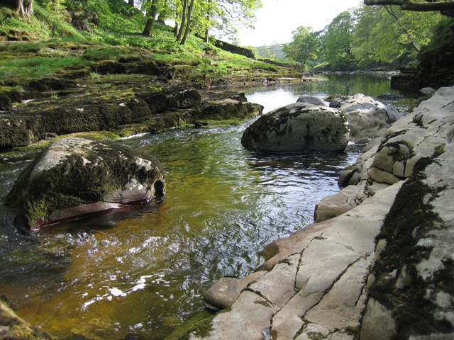
The River Ribble below Stainforth Force. A view from river level downstream from Stainforth Force. In wet weather it would not be possible to get down to this level. The wall in the distance coming down to the water on the left bank is just about on the edge of the square.


