Settle to Malham Cove Walk
![]()
![]() This walk visits Malham Cove, one of the highlights of the Yorkshire Dales, starting from the nearby town of Settle. It's a fairly challenging 6 mile hike using a section of the Dales Highway long distance trail. Along the way there's some wonderful limestone scenery and tremendous views over the surrounding countryside.
This walk visits Malham Cove, one of the highlights of the Yorkshire Dales, starting from the nearby town of Settle. It's a fairly challenging 6 mile hike using a section of the Dales Highway long distance trail. Along the way there's some wonderful limestone scenery and tremendous views over the surrounding countryside.
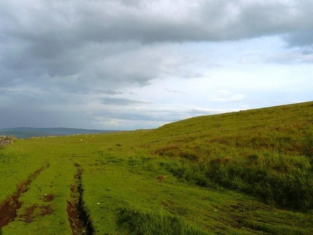
The walk starts at the train station in Settle and heads east to Attermire Cave and Stockdale Farm. You then pass Rye Loaf Hill and Kirkby Fell before turning north east across the Grizedales. There's some truly stunning views around this area which is the high point of the walk.
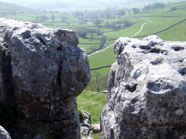
The route then descends to Langscar before picking up the Pennine Way to take you across Ing Scar to the cove. Here you will find a huge curved cliff formation of limestone rock with a vertical cliff face of about 260 feet high. It was formed by a waterfall carrying meltwater from glaciers at the end of the last Ice Age more than 12,000 years ago.
After exploring the cove you have the option of continuing north and visiting the beautiful Malham Tarn.
As an alternative route you could use the Settle Loop to visit the cove. The walk follows a similar route but allows you to create a circular walk to reach the cove.
Also of note is the Settle Caves and Waterfalls Walk which visits a series of mysterious caves and rushing waterfalls in the area.
Settle to Malham Cove Ordnance Survey Map  - view and print off detailed OS map
Settle to Malham Cove Open Street Map  - view and print off detailed map
Settle to Malham Cove OS Map  - Mobile GPS OS Map with Location tracking
Settle to Malham Cove Open Street Map  - Mobile GPS Map with Location tracking
Pubs/Cafes
The Golden Lion in Settle is a good choice for some refreshments after your exercise. They do very good food and have a sun trap garden to relax in on warmer days. Inside there's a cosy, warming atmosphere and they also provide good quality accommodation if you need to stay over. You can find the 17th century inn on Duke Street at a postcode of BD24 9DU for your sat navs. The inn is also very dog friendly if you have your canine friend with you.
Further Information and Other Local Ideas
The Settle Riverside Walk will take you along the River Ribble to neighbouring Stainforth where you can visit the photogenic Stainforth Force Waterfall.


