St Mary Bourne Walks
![]()
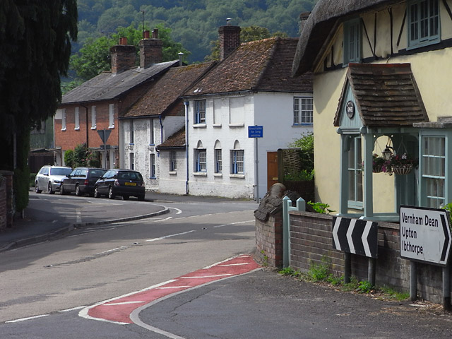
![]() This Hampshire based village is located near Andover and Whitchurch in the valley of the Bourne Rivulet, a tributary of the River Test. It's a delightful area with numerous photogenic thatched cottages, peaceful woodland, pleasant countryside and river views.
This Hampshire based village is located near Andover and Whitchurch in the valley of the Bourne Rivulet, a tributary of the River Test. It's a delightful area with numerous photogenic thatched cottages, peaceful woodland, pleasant countryside and river views.
This circular walk from the village uses part of the Test Way to visit the neighbouring settlements of Hurstbourne Tarrant and Stoke.
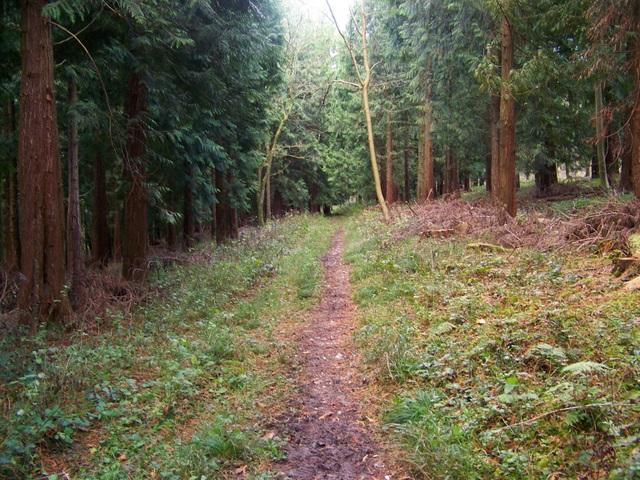
The walk starts in the village and follows the Test Way north west to Swampton and Wallop Hill Down before passing along the woodland trails in Doles Wood. After passing through the wood you come to Hurstbourne Tarrant where there are views of the River Swift.
The route then retraces its steps to Wallop Down Hill and then picks up a footpath heading east to Stoke. You can then follow a country lane running along the Bourne Rivulet to return to St Mary Bourne.
St Mary Bourne Ordnance Survey Map  - view and print off detailed OS map
St Mary Bourne Open Street Map  - view and print off detailed map
*New* - Walks and Cycle Routes Near Me Map - Waymarked Routes and Mountain Bike Trails>>
St Mary Bourne OS Map  - Mobile GPS OS Map with Location tracking
St Mary Bourne Open Street Map  - Mobile GPS Map with Location tracking
Walks near St Mary Bourne
- Andover - This walk takes you around the Hampshire Town of Andover
- Whitchurch Hampshire - This delightful Hampshire village sits in an idyllic location on the River Test
- Overton - This Hampshire based village has some nice river and country trails to try
- Test Way - Travel through the Test Valley on this 45 mile walk through Hampshire and Berkshire.
The route starts Eling Tide Mile near Totton heading north towards the Lower Test Nature Reserve and Romsey along the river - Wayfarer's Walk - Starting at the town of Emsworth on Chichester Harbour, follow this fabulous 70 mile walk through the heart of Hampshire and on into Berkshire.
You will pass through the pretty Hampshire towns and villages of Cheriton, Droxford, Hambledon and New Alresford while also experiencing the beautiful landscape and wildlife in this special county.
The path is easy to follow as it is waymarked by metal and plastic disks attached to wooden and metal posts.
Highlights on the route in include the National Trust owned Hinton Ampner stately home with its wonderful gardens and Watership Down - the delightful setting for Richard Adams' 1972 novel - Watership Down - Climb this hill made famous by Richard Adams' 1972 novel 'Watership Down'
- Basingstoke Canal Walk - Follow the Basingstoke canal from Up Nately to Woodham, on this delightful waterside walk
- Kingsclere - This Hampshire based village is surrounded by beautiful countryside in all directions
- Ecchinswell Ladle Hill Circular Walk - This pretty Hampshire village is in a great spot for exploring the rolling Hampshire Downs and Hangers.
- Ludgershall Castle and Collingbourne Wood Circular Walk - This circular walk explores the countryside and woodland surrounding the Wiltshire town of Ludgershall.
Pubs/Cafes
Near the church you'll find the George Inn for some post exercise rest and refreshment. The pub does a fine Sunday Carvery and is popular with cyclists and walkers. Postcode for sat navs is SP11 6BG.
Dog Walking
The woodland and country trails are great for dog walking. The George Inn mentioned above is also dog friendly.
Photos
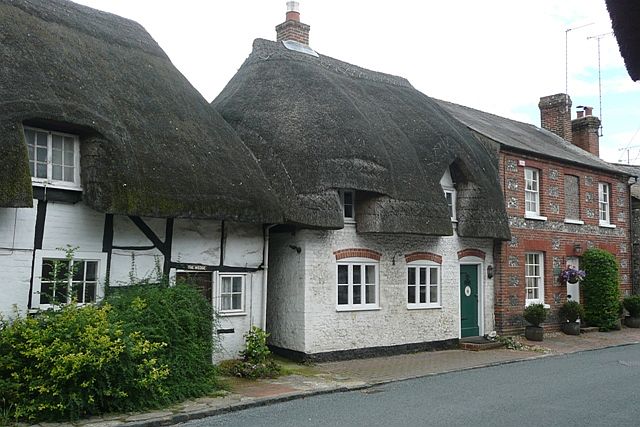
Cottages in St. Mary Bourne. The one on the right appears to be a former pub. The one on the left is called "The Wedge" which might imply its shape or might imply the amount of money needed to buy it
Bourne Rivulet at Stoke. Looking northwest along the Bourne Rivulet. The river is a winterbourne which means it only flows from late winter when the water table is up.


