White Peak Circular Walk
![]()
![]() A long circular walk around the White Peak area of the Peak District. The route uses some of the area's waymarked long distance trails to take you on a tour of several of the White Peak's highlights. The walk is just over 22 miles in distance and quite challenging in parts so is best completed over 2 days.
A long circular walk around the White Peak area of the Peak District. The route uses some of the area's waymarked long distance trails to take you on a tour of several of the White Peak's highlights. The walk is just over 22 miles in distance and quite challenging in parts so is best completed over 2 days.
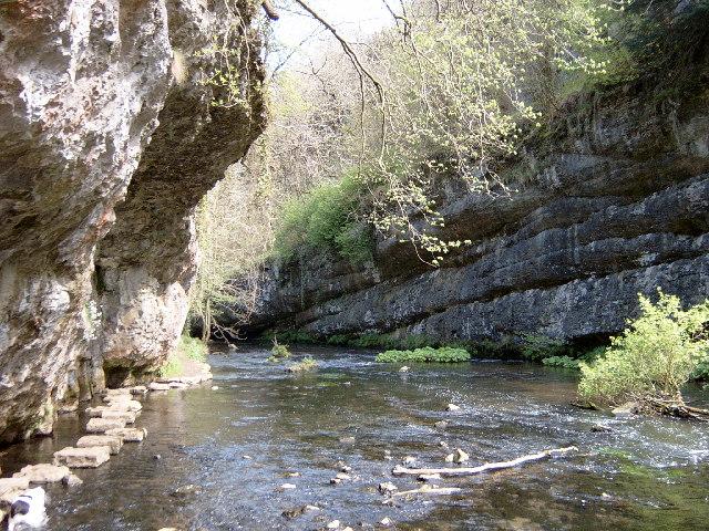
You can start off in the popular town of Bakewell where you can pick up the Monsal Trail. The shared cycling and walking trail will take you north west to Monsal Head, site of the photogenic Headstone Viaduct. You then head west through a series of beautiful dales along the River Wye. You'll pass Cressbrook before coming to the lovely Miller's Dale where there's shady wooded valleys, rushing rivers and lots of interesting flora and fauna to see. The trail continues through Chee Dale, Wye Dale and Deep Dale where you pick up a section of the Midshires Way to take you south east to Chelmorton. Near here you join the Limestone Way which takes you to Monyash. Here you enter another highlight of the White Peak at Lathkill Dale. The dale is a peaceful, atmospheric area flanked with large limestone cliffs and woodland.
After passing through the dale you emerge near Over Haddon where you follow public footpaths back through the countryside to Bakewell.
To continue your walking in the area head to the wonderful Chatsworth Park or enjoy a climb to Birchen Edge.
For a full list of walks in the area see the White Peak Walks page.
White Peak Ordnance Survey Map  - view and print off detailed OS map
White Peak Open Street Map  - view and print off detailed map
White Peak OS Map  - Mobile GPS OS Map with Location tracking
White Peak Open Street Map  - Mobile GPS Map with Location tracking
Pubs/Cafes
On the walk head to the Bull's Head in Monyash on Church St, DE45 1JH. The historic country pub has a blazing log fire to warm you after a winter walk or a lovely beer garden to sit out and relax in during the summer.
Also on Church Street you'll find the splendid Old Smithy tearooms at postcode DE45 1JH. The cafe is housed within the former village blacksmiths in a building full of character and over 250 years old.
In Chelmorton there's the Church Inn. The fine stone pub dates back to 1742 and sits opposite the village church. There's roaring open fires in the winter, a beautiful sun trap of a beer garden and patio for summer al fresco dining. You can find them at postcode SK17 9SL for your sat navs.


