National Cycle Route 66
![]()
![]() This signed cycle route runs for 136 miles from Manchester to Spurn Point on the Yorkshire coast.
This signed cycle route runs for 136 miles from Manchester to Spurn Point on the Yorkshire coast.
On the way you'll pass through Bradford, Leeds, York, Beverley, and Kingston upon Hull. The route includes some pleasant waterside stretches along the Rochdale Canal, the Calder and Hebble Navigation Canal, the Aire Valley Towpath and the Leeds and Liverpool Canal. There's also the Spen Valley Greenway, a popular off road route running along a disused railway line between Dewsbury and Oakenshaw near Bradford.
See the list below for manageable day rides along the route. Scroll down further for route photos and the complete gpx file.
Cycle Routes on National Cycle Route 66
- Manchester to Hebden Bridge - Travel from the city of Manchester to Yorkshire based Hebden Bridge along National Cycle Route 66.
- Huddersfield to Leeds - This ride follows the trail through Yorkshire
- Leeds to York - This ride takes you along National Cycle Network Route 66 from Leeds to York.
- York to Beverley - This ride follows National Cycle routes 66 and 1 through Yorkshire
- Hull to Beverley - This is a lovely easy ride with plenty of traffic free sections following National Cycle route 1 through Yorkshire
- Hull to Withernsea - This fairly flat ride follows the trail and the South Holderness Rail Trail from Hull to the Yorkshire coast
- Spen Valley Greenway - This splendid cycling and walking route runs along a disused railway line from Dewsbury to Oakenshaw near Bradford
National Cycle Route 66 Ordnance Survey Map  - view and print off detailed OS map
National Cycle Route 66 Open Street Map  - view and print off detailed map
National Cycle Route 66 OS Map  - Mobile GPS OS Map with Location tracking
National Cycle Route 66 Open Street Map  - Mobile GPS Map with Location tracking
Further Information and Other Local Ideas
Part of the trail is used by the Yorkshire Wolds Cycle Route. The 143 mile circular ride takes you on a tour of some of the Wold's highlights.
The route links with National Cycle Route 164 and the Way of the Roses in Yorkshire.
Cycle Routes and Walking Routes Nearby
Photos
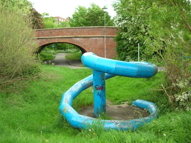
Sustrans Route 66 - Tang Hall. This stretch is on an old railway trackbed which used to form a branch running from a junction with the York - Scarborough line, down through Murton & Weldrake, and then joining back to other branches just to the east of Selby. As a cycle route, the railway is used between the Nestle chocolate factory and Osbaldwick, beyond Osbaldwick quiet roads take you as far as Market Weighton before joining the old York to Beverley railway. The bridge in front carries Tang Hall Lane.
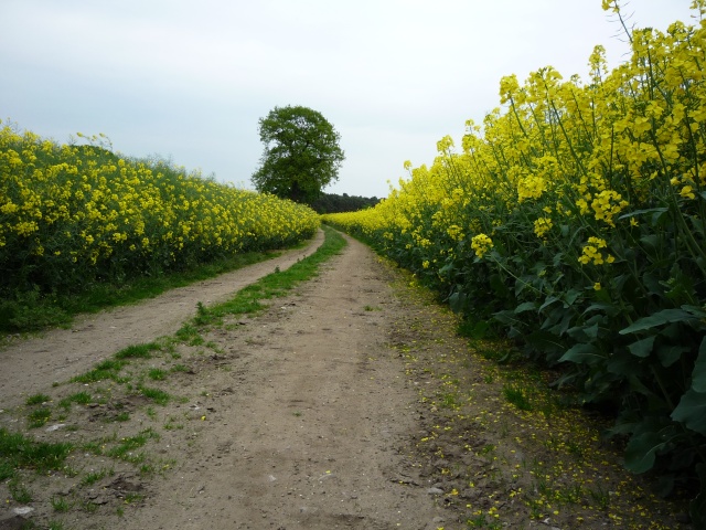
Ox Calder Way at Kexby, North Yorkshire. This stretch is on bridleways between here in Dunnington, and Stamford Bridge. Beyond Stamford Bridge quiet roads take you as far as Market Weighton before joining the old York to Beverley railway.


