Ballyboley Forest Walk
![]() This walk explore Ballyboley Forest near Ballyclare in County Antrim.
This walk explore Ballyboley Forest near Ballyclare in County Antrim.
The expansive forest is about a 30 minute drive north from Belfast so makes for a pleasant day trip from the city.
The walk starts at the Kilylane Reservoir car park at the western side of the site. Here you can pick up some pleasant trails running along the water towards the woodland. There's a nice circular loop walk to follow along the forest tracks and the pretty Kilylane Burn. It's a peaceful place with lots of woodland birds and views of the Antrim Hills.
To continue your walking in the area head a few miles south east to visit Woodburn Forest and Reservoirs in Carrickfergus. There's more woodland trails in the nearby Tardree Forest too.
Ballyboley Forest Open Street Map  - view and print off detailed map
Ballyboley Forest Open Street Map  - Mobile GPS Map with Location tracking
Further Information and Other Local Ideas
Head east and you will soon come to the coast where you could visit the Blackhead Lighthouse. There's some fine coastal trails around the lighthouse with views over the Belfast Lough. The popular and dramatic Gobbins Cliff Path can also be picked up in this area.
Also nearby is the Glenoe Waterfall. The picturesque falls are located in the pretty village of Glenoe in County Antrim. It's a fine place for a walk with pleasant trails taking you through peaceful woodland to the 30ft high waterfall.
To the north there's Glenarm where you can visit the historic Glenarm Castle and enjoy a walk around their beautiful grounds and gardens. Near here there's more fine coastal views and an ancient ruined church in Cushendall. The dramatic Cushendun Caves are another good option in this area. In neighbouring Carnlough you can try the Carnlough Cranny Falls Walk. This takes you along the old Mineral Railway to a picturesque waterfall and river gorge.
To the south west there's Antrim where you can try the Antrim Six Mile Water Walk. The pleasant riverside path will take you to the lovely grounds of the historic Antrim Castle.
Cycle Routes and Walking Routes Nearby
Photos
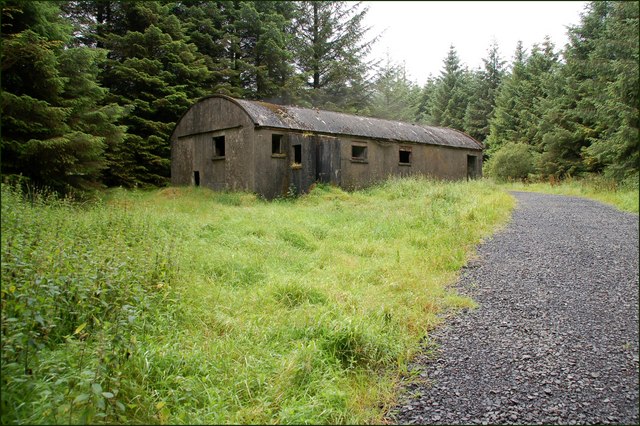
Ballyboley forest is a coniferous forest, planted in moorland, on both sides of the Larne - Ballymena road. This path, which is almost a road, leads from the main road and forms part of the Antrim Hills Way.
Glenwhirry River (view upstream) The Glenwhirry River rises near Ballyboley Forest and flows into the Kellswater to the east of Ballymena. This is the river (looking upstream) as seen from the Battery Bridge.
The Moss Road near Ballynure. The Moss Road is another of the many minor roads in the higher ground between Ballynure, Carrickfergus and Larne. The view is towards the Belfast – Larne road. Ballyboley forest can be seen at top left.


