Cilgerran Castle to Llechryd Walk
![]()
![]() This historic Welsh village is located in North Pembrokeshire, close to Cardigan and the Teifi Estuary on the coast.
This historic Welsh village is located in North Pembrokeshire, close to Cardigan and the Teifi Estuary on the coast.
This walk from the settlement visits the historic Cilgerran Castle before following riverside paths along the River Teifi to the neighbouring village of Llechryd.
The walk starts in the village at the ruined castle which dates back to the 13th century. It's a wonderful sight with the two impressive round towers overlooking the river gorge. From here you can then follow a footpath east along the river passing the Conacle Centre where there's a series of handy information boards and a car park.
It's a nice place to stop for a browse and learn about the history, flora and fauna of the area.
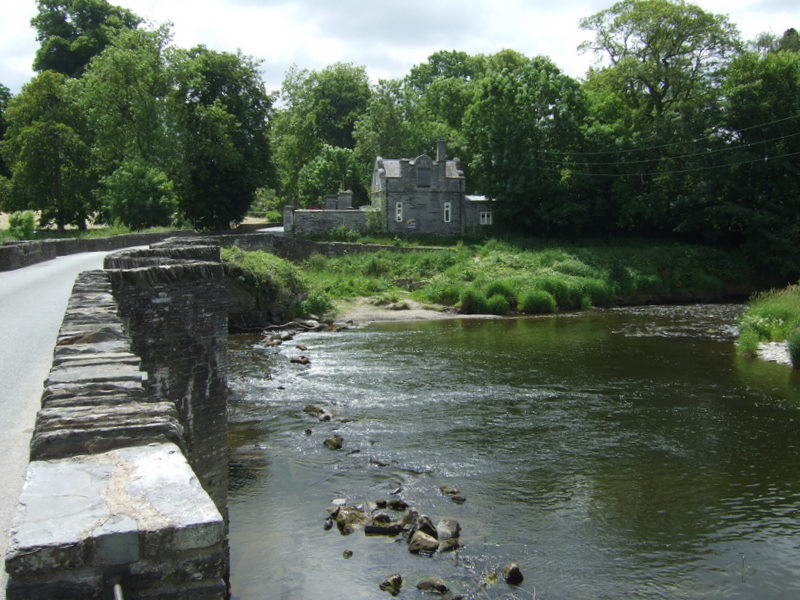
The route continues past Cnwcau before coming to the noteworthy Llechryd Bridge. The photogenic stone bridge dates back to the 17th century and is Grade II listed. Cross the river here and you can then explore Llechryd village.
If you'd like to extend your walking in the area then continue east to visit Cenarth Falls where you can see the leaping salmon in the autumn months. The historic town of Newcastle Emlyn and its ruined Norman castle, can also be visited in this area.
If you head north you can visit Cardigan and enjoy a coastal walk to the ruined abbey at St Dogmaels, the sandy beach at Poppit Sands and the wonderful viewpoint at Cemaes Head.
Postcode
SA43 2SF - Please note: Postcode may be approximate for some rural locationsCilgerran Ordnance Survey Map  - view and print off detailed OS map
Cilgerran Open Street Map  - view and print off detailed map
*New* - Walks and Cycle Routes Near Me Map - Waymarked Routes and Mountain Bike Trails>>
Cilgerran OS Map  - Mobile GPS OS Map with Location tracking
Cilgerran Open Street Map  - Mobile GPS Map with Location tracking
Pubs/Cafes
The Rampin (or Masons Arms) dates back to 1836 and is located just to the east of the village. The friendly pub is a nice place to relax and soak up the local atmosphere. There's a good sized garden with a covered / heated area too. You can find them at postcode SA43 2SR.
Dog Walking
The river and woodland trails make for a pleasant dog walk. Please keep them on leads around the castle grounds though. The Rampin mentioned above is also dog friendly.
Further Information and Other Local Ideas
The ancient neolithic dolmen at Pentre Ifan and its adjacent woodland trails are only a few miles from the village. The ancient site is another local historical highlight and well worth a visit.
Cycle Routes and Walking Routes Nearby
Photos
Cilgerran Castle and Afon Teifi. Showing part of the remains of the castle's inner ward. The strategic location of the castle is clear in this view looking downstream along the river. The castle is owned by the National Trust but is administered by Cadw.
Afon Teifi. An abandoned boat rests by the river bank at this well-known beauty spot close to Cilgerran Castle.


