Lodsworth Walks
![]()
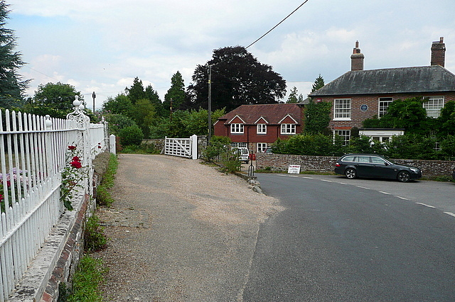
![]() Lodsworth is located between Midhurst and Petworth in West Sussex.
Lodsworth is located between Midhurst and Petworth in West Sussex.
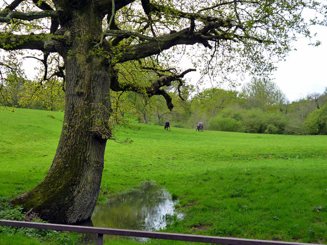
Walkers can enjoy miles of footpaths around the local commons, woodland and countryside of the South Downs National Park. This short walk takes you along a tributary stream of the River Lod which lies just east of the village. Part of the walk runs along the Diamond Way, a long distance trail which you can use to further explore the area.
Please scroll down for the full list of walks near and around Lodsworth. The detailed maps below also show a range of footpaths, bridleways and cycle paths in the area.
Lodsworth Ordnance Survey Map  - view and print off detailed OS map
Lodsworth Open Street Map  - view and print off detailed map
Lodsworth OS Map  - Mobile GPS OS Map with Location tracking
Lodsworth Open Street Map  - Mobile GPS Map with Location tracking
Walks near Lodsworth
- Midhurst Way - This West Sussex market town sits in a lovely spot on the River Rother in the South Downs National park.
This linear walk runs for about 19 miles from Midhurst to Arundel through some lovely Sussex countryside.
The path passes Cowdray Park, Lodsworth, Petworth, Chingford Pond, Bignor, Westburton Hill and Houghton Forest with fabulous views of the South Downs as you go.
There are several attractions on the route including the splendid Arundel Castle, at the start of the walk - Iping Common and Stedham Common - Follow the heathland trails across these two pretty commons on this walk in Midhurst in Sussex
- Lavington Common - Enjoy a peaceful stroll across the Lavington and Duncton Commons on this easy walk near Midhurst in West Sussex
- Serpent Trail - This walk runs from Haslemere to Petersfield through the beautiful Sussex greensand hills
- New Lipchis Way - This is an exceptionally lovely walking trail that runs from Liphook, in Hampshire, to East Head at the entrance to Chichester Harbour
- Woolbeding Common - Explore woodland, heathland and ponds on this walk on Woolbeding Common near Chichester in West Sussex
- Cowdray Park - This circular walk explores the splendid Cowdray Estate in Midhurst
- Harting Down - This large area of chalk downland on the South Downs is managed by the National Trust.
- Uppark - This walk visits the National Trust's Uppark House in South Harting West Sussex.
- Houghton Forest - These woods near Arundel have good mountain bike trails and some nice footpaths to try
- Arundel Castle and Arundel Park - This circular walk takes you through the parkland and countryside surrounding this restored medieval castle in West Sussex
- Cuckoo Trail - This traffic free cycle and walking path runs along a disused railway line from Heathfield to the outskirts of Eastbourne.
- Petworth Park - A walk around the beautiful Petworth Park in Sussex
- Lavington Common - Enjoy a peaceful stroll across the Lavington and Duncton Commons on this easy walk near Midhurst in West Sussex
- Burpham - This charming Sussex based village has some nice thatched cottages, a Grade I listed Saxon Church and a century-old cricket pitch where W
- Graffham - This pretty West Sussex village is located within the South Downs National Park near Midhurst and the splendid Petworth Park.
Further Information and Other Local Ideas
The parish is steeped in a rich and lengthy history, dating back to Neolithic times. In the 12th century, Henry I distinguished Lodsworth as a "liberty" village, granting its residents unique rights that almost completely freed them from the feudal system. Oliver Cromwell is historically noted to have visited the village during the Civil War. Key attractions include St Peter's Church in Lodsworth, established in the 13th century and featuring a 14th-century tower. The churchyard is the resting place of E H Shepard, famed illustrator of "Winnie the Pooh" and "The Wind in the Willows," and his last home in the village is marked with a plaque. Additionally, St James' Church in Selham is a small yet historically significant place of worship. The Manor House, located near the church in Lodsworth, has a medieval origin and was once owned by the Bishop of London. St Peter's Well in Lodsworth is also known as a medieval pilgrimage site.


