Pangbourne Circular River Walk
![]()
![]() This nice 3 mile circular walk around the Berkshire village of Pangbourne includes waterside stretches along the River Thames and the River Pang.
This nice 3 mile circular walk around the Berkshire village of Pangbourne includes waterside stretches along the River Thames and the River Pang.
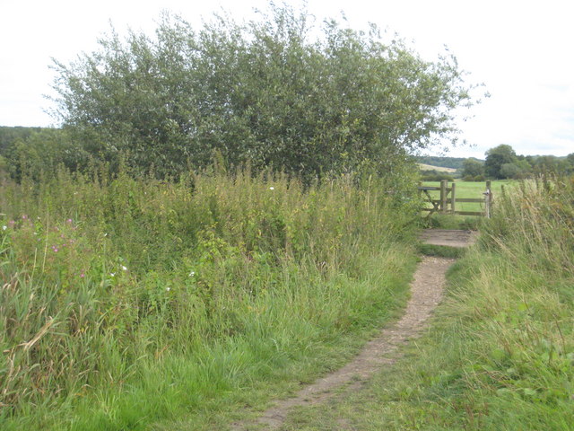
Start the walk from Panbourne train station and then head east along the Thames Path to Pangbourne Meadow. It's a delightful spot which is great for picnics and also hosts the annual Village fete in June. After passing along the pretty meadow the route turns south, following a footpath along the Sul Brook towards Sulham Woods. You can take a short detour south and visit the attractive woods which contain a series of waymarked trails. This walk heads west to meet up with the River Pang where you can follow a path along the river back to the village.
To extend your walking in the area you could continue east along the Thames towards Purley on Thames and visit Mapledurham House. The estate is a lovely place for a stroll and includes a 15th century watermill. Around here you can also pick up the long distance Chiltern Way which runs through the area.
If you head west along the path it will take you towards Basildon Park. Here you will find 4 different waymarked trails taking you through 400 acres of parkland and woodland.
Postcode
RG8 7DU - Please note: Postcode may be approximate for some rural locationsPangbourne Circular Walk Ordnance Survey Map  - view and print off detailed OS map
Pangbourne Circular Walk Open Street Map  - view and print off detailed map
Pangbourne Circular Walk OS Map  - Mobile GPS OS Map with Location tracking
Pangbourne Circular Walk Open Street Map  - Mobile GPS Map with Location tracking
Walks near Pangbourne
- Pangbourne to Goring Walk - This walk follows a section of the Thames Path National Trail from Pangbourne in Berkshire to Goring in South Oxfordshire
- River Pang - Enjoy an easy stroll along the River Pang and through Sulham Woods on this circular walk in Berkshire
- Basildon Park - A walk around the beautiful Basildon Park near Reading
- Mapledurham House - The Mapledurham estate is a wonderful place for a relaxing afternoon walk
- Sulham Woods - Follow a series of waymarked trails in this woodland area near Tidmarsh
- Chiltern Way - This is the original 125 mile circuit of the Chilterns AONB taking you through Hemel Hempstead, Chalfont St Giles, Marlow, Hambleden, Turville, Fingest, Bix Bottom, Ewelme, the Ridgeway, Stokenchurch, Great Hampden, Aldbury, the Dunstable Downs Country Park, Sharpenhoe Clappers and Harpenden
- Reading Circular River Walk - This circular walk takes in a number of waterways including the River Thames, the River Kennet and the Kennet and Avon Canal
- Little Marlow - This pretty little village in Buckinghamshire sits close to the River Thames and a lovely local nature reserve
- Goring - This riverside village in South Oxfordshire is ideally located for walking with two National Trails passing through the area
- Thames Path - Starting at the Source of the Thames at Thames Head in Gloucestershire, follow the iconic river through beautiful countryside and historic towns to the city of London.
- Woodcote - This South Oxfordshire based village is a nice place to start a woodland and countryside walk
- Wilders Folly - This walk visits the photogenic Wilder's Folly at Nunhide near Sulham in Berkshire.
Pubs/Cafes
The Swan dates back to the 17th century as is a fine choice for some post walk refreshments. There's a charming old interior with oak beams and three cosy open fires. If the weather is good then you can sit outside on the lovely terrace overlooking the river. You can find them at Shooters Hill with postcode RG8 7DU for your sat navs. The pub is also dog friendly.
Further Information and Other Local Ideas
The Wilder's Folly Walk starts from the car park in Sulham Woods. It will take you south to a noteworthy 18th century dovecote perched on a hill with some fine views over the surrounding countryside. There's also some nice bluebell woods in Boxgrove Wood and the Harefield Copse in this area.


