Walesby Forest Walks
5.9 miles (9.5 km)
![]()
![]() This circular walk from the Nottinghamshire village of Walesby explores the countryside and woodland surrounding the settlement.
This circular walk from the Nottinghamshire village of Walesby explores the countryside and woodland surrounding the settlement.
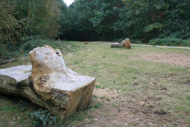
You can follow the Robin Hood Way west towards the forest which is home to an International Outdoor Adventure Activity Centre set in over 250 acres.
You can follow public trails around the forest down to Boughton Brake before picking up bridleways through the countryside to the neighbouring village of Kirton. From here you can pick up footpaths heading north west to return to Walesby.
Postcode
NG22 9NG - Please note: Postcode may be approximate for some rural locationsPlease click here for more information
Walesby Forest Ordnance Survey Map  - view and print off detailed OS map
Walesby Forest Open Street Map  - view and print off detailed map
Walesby Forest OS Map  - Mobile GPS OS Map with Location tracking
Walesby Forest Open Street Map  - Mobile GPS Map with Location tracking
Walks near Walesby
- Edwinstowe - This Nottinghamshire based village sits in a pleasant spot, on the edge of Sherwood Forest near Mansfield
- Thoresby Park - This walk visits the lovely Thoresby Park in Nottinghamshire
- Rufford Abbey Country Park - Visit Rufford Country Park near Mansfield and explore 150 acres of historic parkland
- Sherwood Forest Country Park - Explore 450 acres of peaceful woodland in this famous park and Nature Reserve in Nottinghamshire
- Clumber Country Park - Enjoy a peaceful walk or cycle around the fabulous Clumber Park in Worksop
- Laxton - This pretty village in Nottinghamshire is a nice place for country walks or a village stroll
- Rufford Abbey Country Park - Visit Rufford Country Park near Mansfield and explore 150 acres of historic parkland
- Southwell Trail - This traffic free cycling and walking trail links Southwell to Bilsthorpe in the Sherwood Forest area of Nottinghamshire
- Vicar Water Country Park - Explore 200 acres of rare heathland, mature woodland and species rich grassland in this country park near Mansfield
- Worksop - This walk follows a section of the Chesterfield Canal from Worksop to Kiveton Park
- Creswell Crags - This walk takes you around this fascinating limestone gorge on the Derbyshire and Nottinghamshire border
- Mansfield - The area surrounding the market town of Mansfield has some excellent choices for walkers
- Sherwood Pines Forest Park - Enjoy several waymarked cycling and walking trails in this large woodland area in Mansfield
- Pleasley Pit Country Park - This former colliery site in Mansfield has been converted into a lovely country park and local nature reserve
- Pleasley Vale - This circular walk explores the wooded valley of Pleasley Vale on the Derbyshire and Nottinghamshire border.


