Whaley Bridge Walks
![]()
![]() This walk from the train station takes you through the Goyt Valley to three reservoirs to the south of the town. There's nice waterside trails along the reservoirs and the River Goyt to enjoy.
This walk from the train station takes you through the Goyt Valley to three reservoirs to the south of the town. There's nice waterside trails along the reservoirs and the River Goyt to enjoy.
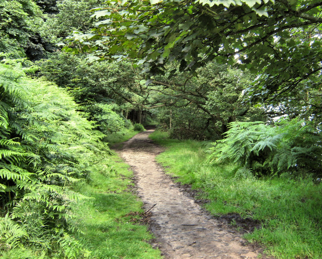
The walk starts from the train station and heads south west along the Midshires Way to Toddbrook Reservoir. You continue south throught the Goyt Valley to Errwood Reservoir and Fernilee Reservoir. There's nice waterside trails here with the option of extending the walk around the adjacent Errwood Estate. This includes an old ruined hall and peaceful woodland with azaleas and rhododendrons. The Shining Tor and Cats Tor Walk also starts from the Errwood. These hills offer wonderful views of the Cheshire Plain, Winter Hill, the city of Manchester and Jodrell Bank.
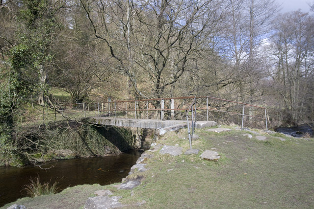
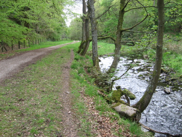
This walk turns north to follow paths along the other side of Fernilee Reservoir before picking up riverside trails along the River Goyt. The route then returns to the town on the Midshires Way.
The town is located close to two popular climbs which are a great way to extend your walking in the area. The climb to Eccles Pike is located just a short distance to the east of the town. Chinley Churn and Cracken Edge are also nearby and offer more great Peak District views from their elevated position.
You could also head to the canal basin and pick up the Peak Forest Canal towpath for some easy waterside walking.
Whaley Bridge Ordnance Survey Map  - view and print off detailed OS map
Whaley Bridge Open Street Map  - view and print off detailed map
Whaley Bridge OS Map  - Mobile GPS OS Map with Location tracking
Whaley Bridge Open Street Map  - Mobile GPS Map with Location tracking
Walks near Whaley Bridge
- Windgather Rocks - This walk visits this interesting gritstone crag which is popular with rock climbers
- Midshires Way - This route follows public bridleways and quiet country lanes through Middle England, from Bledlow, near Aylesbury in Buckinghamshire, to Stockport in Greater Manchester
- Toddbrook Reservoir - Enjoy a short waterside walk along this pretty reservoir in Whaley Bridge
- Errwood Reservoir and Fernilee Reservoir - Enjoy some lovely waterside walking along these two reservoirs in the Goyt Valley area of the Peak District
- Eccles Pike - This is a popular climb to Eccles Pike from Whaley Bridge in the Peak District
- Chinley Churn and Cracken Edge - Climb Chinley Churn and enjoy super views over the Peak District towards Kinder Scout on this circular walk.
The walk starts from Chinley train staion and takes you over Cracken Edge to Chinley Churn - Pennine Bridleway - This fabulous 120 mile long trail runs through the beautiful Derbyshire Peak District, through Lancashire and on into Yorkshire.
It is suitable for mountain bikers, horse riders and walkers taking you on a tour through some of the most beautiful parts of the country - Combs Reservoir - This circular walk takes you around Combs Reservoir near Chapel-en-le-Frith on the edge of the Peak District National Park
- Kinder Downfall - Climb to the tallest waterfall in the Peak District on this circular walk from the Peak District village of Hayfield
- Kinder Reservoir - This walk takes you to Kinder Reservoir from Hayfield along the Snake Path
- Kinder Scout - Explore the Kinder plateau on this exhilarating and challenging circular walk from the popular village of Edale
- Jacob's Ladder - A circular walk from Edale visiting Jacob's Ladder, Edale Cross, Mount Famine, Rushup Edge and Lord's Seat
- Chapel en le Frith - This small Derbyshire town is located close to some classic Peak District walks, with stunning scenery in all directions
- Peak Forest Canal - Travel from Derbyshire into Greater Manchester on this waterside walk along the Peak Forest Canal
- Lamaload Reservoir - This circular walk takes you around the pretty Lamaload Reservoir near Macclesfield in the Peak District National Park
- Castle Naze - This walk visits an elevated fort near Chapel en le Frith in the White Peak area of the Peak District.
Pubs/Cafes
After your walk head to the The White Hart pub on Market St in Whaley Bridge (postcode SK23 7HN). It's a popular and friendly pub with a beer garden overlooking the stream.
The Cock is another really good option and can be found on Buxton Road at postcode SK23 7JE. It has a nice interior and a beer garden to relax in during the warmer months.


