Whitby to Runswick Bay Walk
![]()
![]() A splendid coastal walk along a section of the Cleveland Way from Whitby to the lovely Runswick Bay. There's stunning beaches, dramatic cliff tops and the pretty village of Sandsend to see on the way.
A splendid coastal walk along a section of the Cleveland Way from Whitby to the lovely Runswick Bay. There's stunning beaches, dramatic cliff tops and the pretty village of Sandsend to see on the way.
Starting in the town head north to Whitby Sands and then turn left to Upgang Beach. The walk continues west towards Sandsend where you could divert off the path to visit Mulgrave Woods. The woods are great for walkers with miles of tracks and the ruins of the Norman Mulgrave Castle.
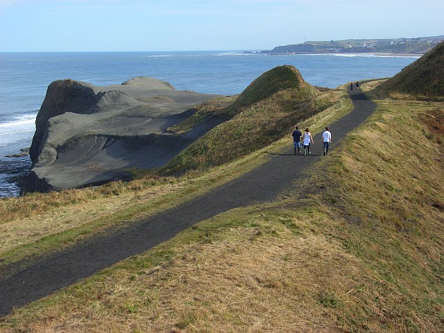
The route continues to Sandsend Ness, an old alum quarrying site dating from the 17th century. There's interesting geological features here in a moonscape style setting.
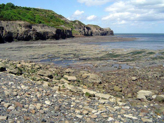
The next stage takes you to Kettleness where there is a beach popular with fossil hunters. Dinosaur and ammonite are regularly found along the foreshore and in the cliff.
The final section passes along Runswick Sands before finishing at Runswick Bay. The delightful fishing village is a highlight of the Yorkshire coast with its sandy beach, sheltered bay and pretty little cottages.
The white thatched property on the seafront is the only remaining thatched house on the Yorkshire coast. You can enjoy refreshments at one of the many cafes or hotels with lovely views over the bay. After exploring the village you can catch a bus directly back to Whitby.
To extend your walking in the area you could head south along the coast path on the Whitby to Robin's Hood Bay Walk. It's another very popular section of the path with views of the River Esk and a visit to the atmospheric ruins of Whitby Abbey.
You could also head north on the Saltburn to Whitby Walk.
This walk visits Staithes, Skinningrove and Boulby where there are some of the highest cliffs in England, at 203 metres (666 ft) above sea level.
Whitby to Runswick Bay Walk Ordnance Survey Map  - view and print off detailed OS map
Whitby to Runswick Bay Walk Open Street Map  - view and print off detailed map
Whitby to Runswick Bay Walk OS Map  - Mobile GPS OS Map with Location tracking
Whitby to Runswick Bay Walk Open Street Map  - Mobile GPS Map with Location tracking
Pubs/Cafes
On the route you could stop off in Sandsend and visit The Hart Inn. This fine pub is located in a excellent location just yards from Sandsend beach. The inn does excellent food including some delicious crab sandwiches. They also have a lovely large garden area for fine weather. You can find them at East Row with a postcode of YO21 3SU for your sat navs.
Further Information and Other Local Ideas
The circular Sandsend Walk starts from the nearby fishing village and heads to Runswick Bay before returning through the countryside and visiting Mulgrave Woods. It's a nice way to explore the coast, countryside and woods of the area.
The Runswick Bay to Kettleness Circular Walk will take you to Kettleness on the cliff top path before returning along an inland dismantled railway line.
For more walking ideas in the area see the North York Moors Walks page.


