Llandysul Walks
![]()
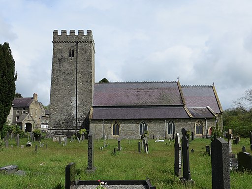
![]() This small market town in Ceredigion is located in the valley of the River Teifi. The area is popular for river fishing and includes a noteworthy church dating to the 13th century. The town is also a designated Walkers are Welcome community meaining local footpaths are kept open, walkers are made welcome in local businesses and walking is promoted in the area. There are also guided monthly walks with more details on the more information link below.
This small market town in Ceredigion is located in the valley of the River Teifi. The area is popular for river fishing and includes a noteworthy church dating to the 13th century. The town is also a designated Walkers are Welcome community meaining local footpaths are kept open, walkers are made welcome in local businesses and walking is promoted in the area. There are also guided monthly walks with more details on the more information link below.
This walk explores Llandysul park on the eastern side of the town. There's a car park here and nice footpaths running along the river. The ancient church can also be found in this area.
To continue your walking around head west to visit the neighbouring town of Newcastle Emlyn. Here you can explore the historic Norman Castle and then visit the beauty spot at Cenarth Falls.
Please click here for more information
Llandysul Ordnance Survey Map  - view and print off detailed OS map
Llandysul Open Street Map  - view and print off detailed map
Llandysul OS Map  - Mobile GPS OS Map with Location tracking
Llandysul Open Street Map  - Mobile GPS Map with Location tracking
Walks near Llandysul
- Newcastle Emlyn - This lovely Welsh town is located in the heart of the Teifi Valley near Carmarthen.
- Carmarthen - This short walk takes you around the county town of Carmarthenshire, visiting some of the local highlights
- Cenarth Falls - Visit these beautiful falls and enjoy a woodland stroll along the Afon Teifi on this walk in Carmarthenshire
- Cardigan - The town of Cardigan is located in a lovely spot on the Teifi Estuary
- Penrhyn Castle - Explore 60 acres of woodland and parkland surrounding this large 19th-century neo-Norman castle near Bangor, Gwynedd.
- Ceredigion Coast Path - This walk follows the beautiful coastline of Ceredigion from Cardigan to Borth.The walk is waymarked with a coast and sea logo.
- Aberporth - This walk follows a section of the Ceredigion Coast Path from the village of Aberporth to Tresaith and Traeth Penbryn
- Pentre Ifan - Visit the largest and most well preserved neolithic dolmen in Wales on this fascinating walk in Pembrokeshire
- Llangrannog - This circular walk explores the area surrounding the village of Llangrannog on the Ceredigion coast
- Aberporth to Mwnt Coastal Path - Follow the Ceredigion Coast Path from Aberporth to Mwnt on this splendid coastal walk.
- Cilgerran - This historic Welsh village is located in North Pembrokeshire, close to Cardigan and the Teifi Estuary on the coast.
- Aberporth to Llangrannog Coastal Path - This walk takes you along a section of the Ceredigion Coast Path from Aberporth to Llangrannog.
- Llangrannog to Cwmtydu - This walk follows a section of the Ceredigion Coast Path from Llangrannog to the beautiful beach at Cwmtydu.
- St Dogmaels - This Welsh village sits in a lovely location on the River Teifi estuary near Cardigan.
- Tresaith to Penbryn Walk - This walk from the village of takes you to neighbouring Penbryn along the Ceredigion Coast Path.
Photos
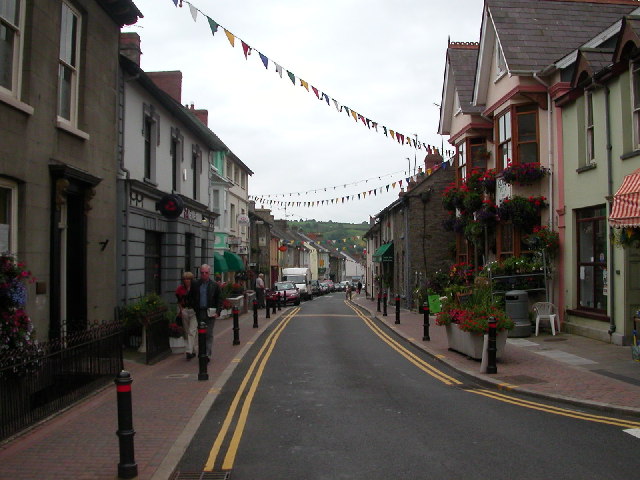
Llandysul in central Wales where my Great-Grandfather helped to build a shop and house for his brother in 1883.
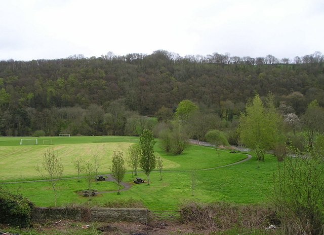
This photograph shows an area of flat land round which sweeps the Afon Teifi, visible on the right. This is a flood plain so there are no houses here but the land is used for recreation with playing fields, picnic area, bowling green and tennis courts (the last two out of sight to the left). The steep slope on the other side of the river is clothed in woodland with some of the trees now in leaf while others retain their bare winter branches.
Site of Llandysul Station Yard The new Llandysul bypass, on the right,goes across the site of Llandysul Station, closed as part of the Beeching Plan. The long building on the left is all that is left of the station's goods facilities. Sidings ran alongside and wagons were unloaded directly into them.


