Pattingham Walks
![]()
![]() This Staffordshire based village is located near Wolverhampton and Bridgnorth in the southern part of the county near the border with Shropshire. It's a nice place for a country walk with waymarked trails and a nearby canal for some easy waterside walking.
This Staffordshire based village is located near Wolverhampton and Bridgnorth in the southern part of the county near the border with Shropshire. It's a nice place for a country walk with waymarked trails and a nearby canal for some easy waterside walking.
This walk from the village takes you east to visit the Staffordshire and Worcestershire Canal and the National Trust's Wightwick Manor.
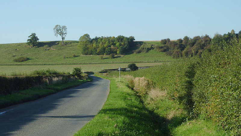
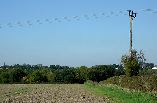
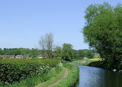
Start the walk in the village and follow Moor Lane south east to Great Moor where you can pick up the Staffordshire Way and the Monarch's Way. Follow the waymarked trails south east past Trescott and you can link up with the canal at Mops Farm Bridge. From here you can follow a pleasant section of the canal towpath north east past Castlecroft to Wightwick. Here you will find an historic Victorian half-timbered Manor House with a collection of paintings and ceramics. Outside there's some lovely gardens with orchards, pools, formal gardens, a Victorian kitchen garden and a mathematical bridge. There's also a tea room where you can enjoy some refreshments.
You can extend the walk by continuing along the canal to visit the Smestow Valley Nature Reserve.
Pattingham Ordnance Survey Map  - view and print off detailed OS map
Pattingham Open Street Map  - view and print off detailed map
Pattingham OS Map  - Mobile GPS OS Map with Location tracking
Pattingham Open Street Map  - Mobile GPS Map with Location tracking
Walks near Pattingham
- Wightwick Manor - This walk visits the Victorian manor house of Wightwick Manor in Wolverhampton
- Staffordshire and Worcestershire Canal - Follow the Staffordshire and Worcestershire Canal from Stourport-on-Severn to Great Haywood on this easy waterside walking and cycling route
- Wolverhampton Canal Walk - Explore the Birmingham Canal on this short walk through the centre of Wolverhampton.
- Bridgnorth - This fine Shropshire town has some fine walking trails through the Severn Valley and a number of local parks and gardens to explore.
This long walk from the town centre makes use of the Severn Way and Geopark Way long distance trails to take you on a tour of the countryside to the south of the town - Brewood Canal Walk - This circular walk from Brewood takes you along a section of the Shropshire Union Canal towards Wheaton Aston before heading through the countryside to visit the pretty Belvide Reservoir and the historic Chillington Hall.
- Belvide Reservoir - Enjoy a circular walk around Belvide Reservoir in South Staffordshire on this easy route
- Wombourne Railway Walk - A circular walk from Wombourne taking you along a dismantled railway line before returning along the Staffordshire and Worcestershire Canal
- Baggeridge Country Park - Enjoy 150 acres of woodland and countryside in this country park near Wolverhampton
- Netherton Tunnel - This walk explores the northern end of the Netherton Tunnel Canal in Birmingham.
- Dudley Canal - Follow the Dudley Canal from Warren's Hill Park to Leasowes Park on this waterside walk through Blackheath and Halesowen in Birmingham
- Wyrley and Essington Canal - This walk takes you along the Wyrley and Essington Canal from Wolverhampton to the Rushall Canal in Walsall.
- Rough Wood Country Park - This walk explores Rough Wood Country Park in Willenhall, Walsall
- Pelsall Common - This walk visits the Pelsall North Common nature reserve in the village of Pelsall, Walsall.
- Himley Hall - This walk explores Himley Hall Park, near the village of Himley in Staffordshire.
- Smestow Valley - This walk explores the Smestow Valley Local Nature Reserve in Wolverhampton.
- Perton - This Staffordshire based village lies just to the south of Codsall and west of Wolverhampton.
Further Information and Other Local Ideas
Just to the east you'll find Perton where there's a nice cyling and walking trail along the River Penk which runs between two pretty lakes. You can then go on to explore the attractive countryside around the historic Wrottesley Park and Wrottesley Hall.


