Blean Woods Walks
![]()
![]() Enjoy miles of cycling and walking paths in the ancient woodland of Blean Woods near Canterbury. The site is one of the most extensive areas of broadleaf woodland in Britain and home to a wide variety of wildlife. There's miles of waymarked trails to try with birds such as Nightjar and Woodcock to look out for on the way.
Enjoy miles of cycling and walking paths in the ancient woodland of Blean Woods near Canterbury. The site is one of the most extensive areas of broadleaf woodland in Britain and home to a wide variety of wildlife. There's miles of waymarked trails to try with birds such as Nightjar and Woodcock to look out for on the way.
To continue your walking in the area you can head south and try our Canterbury Rivers and Woods Walk which takes you through the orchards and woodland surrounding Canterbury. The Stour Valley Walk and North Downs Way long distance trails also pass just to the south of the woods.
Postcode
CT6 7AB - Please note: Postcode may be approximate for some rural locationsPlease click here for more information
Blean Woods National Nature Reserve Ordnance Survey Map  - view and print off detailed OS map
Blean Woods National Nature Reserve Open Street Map  - view and print off detailed map
Blean Woods National Nature Reserve OS Map  - Mobile GPS OS Map with Location tracking
Blean Woods National Nature Reserve Open Street Map  - Mobile GPS Map with Location tracking
Pubs/Cafes
On the eastern side of the woods there's The Hare at Blean. They serve delicious freshly cooked pizzas and have a large garden area to sit out in. You can find them at postcode CT2 9EF.
Dog Walking
The expansive woods are ideal for dog walking. You will probably meet other owners on your visit. The Hare pub mentioned about is also dog friendly.
Further Information and Other Local Ideas
In Canterbury you could pick up the Elham Valley Way and follow the waymarked footpath south to explore the worthy village of Barham with its 14th century church and Grade I listed 17th century Broome Park.
Just east of Canterbury you can visit the Stodmarsh National Nature Reserve which boasts the largest reedbeeds in the South East of England. This area also includes the lovely Grove Ferry Walk which starts at the eastern end of the reserve. There's a car park, picnic area, boat trips and a fine riverside pub here. At the western end of the reserve you'll also find the Westbere Marshes and the noteworthy town of Fordwich. Fordwich is notable as Britain's smallest town and also has a great pub with a dining terrace overlooking the Stour.
For more walking ideas in the area see the Kent Walks and the Kent Downs Walks pages.
Cycle Routes and Walking Routes Nearby
Photos
Information Sign, West Blean Woods. The woodland is dominated by native broadleaf trees, including oak, hornbeam, and sweet chestnut, interspersed with patches of birch and ash. In some areas, you'll find Scots pine and other conifer species introduced in the 20th century. The forest floor is seasonally carpeted with bluebells, especially in spring, creating stunning displays alongside wild garlic, primroses, and dog’s mercury. Heathland and open glades within the woods support plants like heather, gorse, and grasses, while wetter areas host ferns, mosses, and sedges.
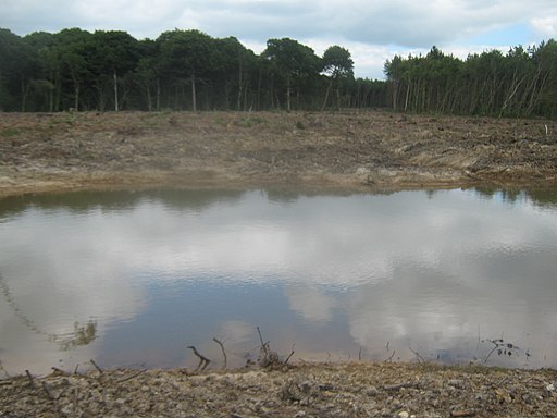
Heath at the site. Blean Woods is renowned for its wildlife, particularly as a stronghold for the rare heath fritillary butterfly, often called the "woodman’s friend" due to its historical association with coppiced woodlands. Other butterflies include white admirals, purple hairstreaks, and brimstones.
Birdlife is abundant, with nightingales, woodpeckers (including great spotted and green woodpeckers), treecreepers, and warblers commonly seen. The woods are also home to long-eared owls, buzzards, and sparrowhawks. In winter, you may spot flocks of fieldfares and redwings.
Mammals include badgers, foxes, roe deer, and smaller species like wood mice and shrews. Bats such as the pipistrelle and brown long-eared bat can be seen hunting insects at dusk. Amphibians like common frogs and newts thrive in the wetter areas, while reptiles such as common lizards and grass snakes are found in sunny, open spaces.
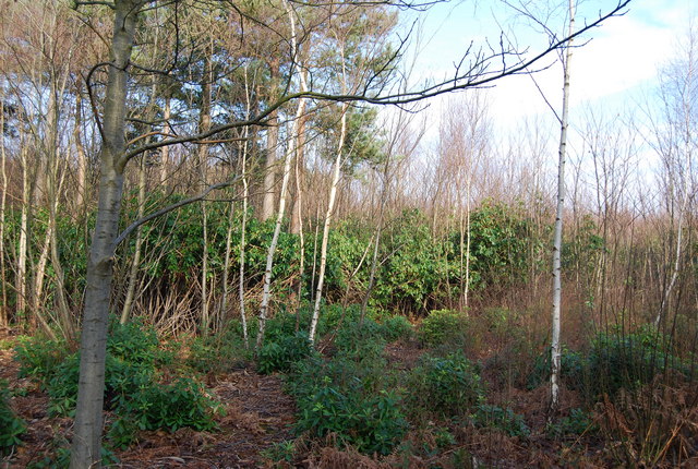
Rhododendrons, West Blean Wood. The heath fritillary population at Blean Woods has been a major focus of conservation efforts, with managed coppicing and habitat restoration helping to sustain its population. The mix of ancient and restored habitats supports not only these iconic species but also countless invertebrates, fungi, and lichens essential to the ecosystem.
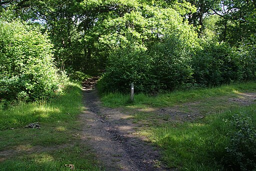
New Road near Church Wood Cottages. This track leads from the A2 Dual Carriageway through Church Wood and Blean Woods towards Rough Common. It is also used by a footpath.


