Drumpellier Country Park
![]()
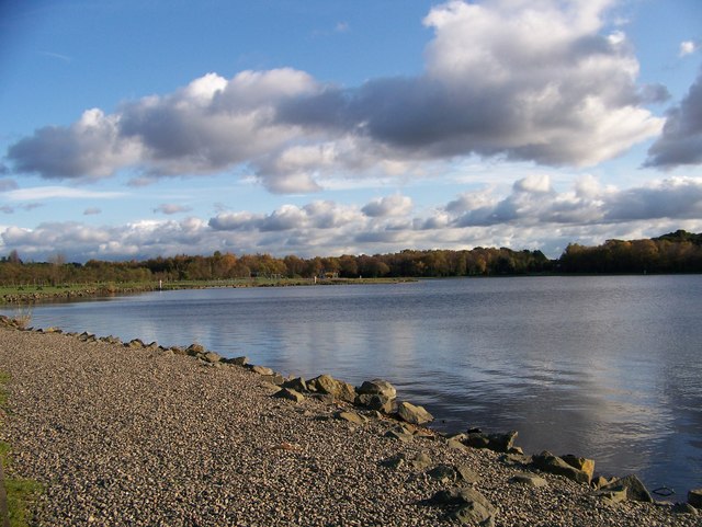
![]() Explore 500 acres of lowland heath, mixed woodlands, lochs and open grassland in this pretty country park located between Glasgow and Airdrie. You can follow the woodland paths to Lochend Loch and Woodend Loch before enjoying a stroll along the Monkland Canal which runs through the southern end of the park. The park also contains a Visitor Centre, Cafeteria, Peace Garden and Nature trails.
Explore 500 acres of lowland heath, mixed woodlands, lochs and open grassland in this pretty country park located between Glasgow and Airdrie. You can follow the woodland paths to Lochend Loch and Woodend Loch before enjoying a stroll along the Monkland Canal which runs through the southern end of the park. The park also contains a Visitor Centre, Cafeteria, Peace Garden and Nature trails.
National Cycle Network number 75 runs along the southern edge of the park and there is another cycle path running through the park up to the loch. The park is located just to the west of Coatbridge very near to Blairhill railway which is a good point of access.
Postcode
ML5 2EH - Please note: Postcode may be approximate for some rural locationsDrumpellier Country Park Ordnance Survey Map  - view and print off detailed OS map
Drumpellier Country Park Open Street Map  - view and print off detailed map
Drumpellier Country Park OS Map  - Mobile GPS OS Map with Location tracking
Drumpellier Country Park Open Street Map  - Mobile GPS Map with Location tracking
Pubs/Cafes
At the visitor centre there's a nice cafe where you can enjoy refreshments after your exercise.
Dog Walking
It's a great place for dog walking so you'll probably see other owners on your visit.
Further Information and Other Local Ideas
Head west from the park and you could visit the picturesque
Hogganfield Loch. The loch is part of the wider Seven Lochs Wetland Park, Scotland's largest urban heritage and nature park. It's a great area for walks and bird watching with several species visiting the lochs.
If you head east towards Bathgate you can explore Polkemmet Country Park. You could also pick up the Airdrie to Bathgate Cycle Path and visit the pretty Hillend Reservoir.
North of the park you can pick up the Strathkelvin Railway Path near Gartcosh. This shared cycling and walking route runs along a disused railway line to Strathblane, with lovely views of the Campsie Fells on the way.
Cycle Routes and Walking Routes Nearby
Photos
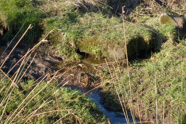
Source of the Bishop Burn. This spring gives rise to the Bishop Burn which in ancient times formed the boundary between the lands of the Archbishopric of Glasgow and the Monklands.


