National Cycle Route 437 - Ammanford - Brynamman
6.3 miles (10.2 km)
![]()
![]() This cycle route runs from Ammanford to Brynamman and Cwmllynfell in Neath Port Talbot.
This cycle route runs from Ammanford to Brynamman and Cwmllynfell in Neath Port Talbot.
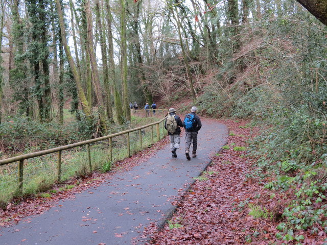
The route runs along the River Amman and then along a dismantled railway line. It also uses part of the Amman Valley and is largely traffic free so also suitable for walkers. Along the way you can enjoy some splendid views of the countryside and hills of the Amman Valley.
You can link up with National Cycle Route 43 near the eastern end of the route.


