Aberaeron to Llanerchaeron Walk
![]()
![]() A lovely walk from the Ceredigion town of Aberaeron to the Grade I listed mansion of Llanerchaeron.
A lovely walk from the Ceredigion town of Aberaeron to the Grade I listed mansion of Llanerchaeron.
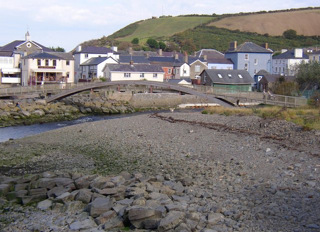
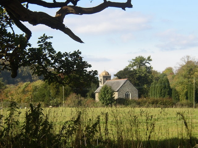
The walk starts in the coastal town of Aberaeron, next to the pier. You then pass along the harbour before picking up a trail along the River Aeron. The trail branches off the river before passing through woodland and arriving at Llanerchaeron.
There's some nice trails to follow around the grounds of the attractive Georgian villa. Features include a working farm, an ornamental lake and walled gardens.
On the farm you can see a variety of animals including Welsh Black cattle, Llanwenog sheep, rare Welsh pigs, chickens, geese and doves.
The walled gardens date from the 18th century and feature kitchen gardens, 200 year old fruit trees, beautiful herbaceous borders and a herb garden.
In the woodland areas you can see wild daffodils, wood anemone and bluebells depending on the time of year. Also look out for birdlife including nesting herons, goldcrests, redstarts and nuthatches.
After exploring the estate you can return to Aberaeron on the same path.
The Ceredigion Coast Path passes through Aberaeron. You could follow the waymarked trail north east to Llansantffraid to extend your walking in the area.
Heading south east will take you to New Quay, where the poet Dylan Thomas lived in 1944-45. In the town you can pick up the Dylan Thomas trail which visits local places associated with the poet. See the New Quay to Aberaeron Coastal Path page for details of the stretch of coast between the two settlements.
Please click here for more information
Aberaeron to Llanerchaeron Ordnance Survey Map  - view and print off detailed OS map
Aberaeron to Llanerchaeron Open Street Map  - view and print off detailed map
Aberaeron to Llanerchaeron OS Map  - Mobile GPS OS Map with Location tracking
Aberaeron to Llanerchaeron Open Street Map  - Mobile GPS Map with Location tracking
Further Information and Other Local Ideas
To continue your walking from the town you could head north east on the Llanrhystud to Aberaeron Coastal Path. This will take you to the nearby settlements of Llansantffraid and Aberarth before coming to Llanrhystud. In the village the rivers Carrog, Wyre and Wyre Fach meet before flowing into the sea. There's also a fine windsurfing beach and a panoramic view of Cardigan Bay.


