Ardingly Reservoir
![]()
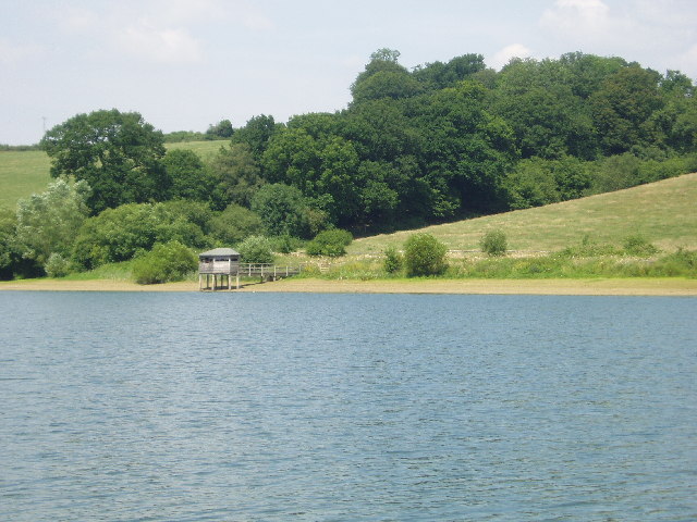
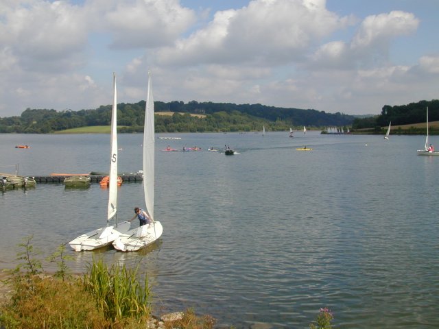
![]() This 198 acre reservoir and nature reserve has a lovely waterside walking path ideal for an easy stroll. The walk starts at the parking lot at the southern end of the reservoir and take you along the eastern side of the water to the village of Balcombe before returning to the start point. As a nature reserve you will pass through a variety of habitats including wetland, reedbed, deciduous woodland, hazel coppice and haymeadow. Look out for Great crested grebe and kingfishers as you make your way round the reservoir.
This 198 acre reservoir and nature reserve has a lovely waterside walking path ideal for an easy stroll. The walk starts at the parking lot at the southern end of the reservoir and take you along the eastern side of the water to the village of Balcombe before returning to the start point. As a nature reserve you will pass through a variety of habitats including wetland, reedbed, deciduous woodland, hazel coppice and haymeadow. Look out for Great crested grebe and kingfishers as you make your way round the reservoir.
Our Ouse Valley Viaduct Walk also starts from the same car park. It is a short walk along the river to the impressive structure which is a highlight of the area.
Ardingly is located near Haywards Heath in West Sussex. It is right next to the stunning Wakehurst Place which has beautiful gardens and is a great option if you'd like to continue your walking. Alternatively the High Weald Landscape Trail can also be picked up from the edge of Wakehurst Place.
Please click here for more information
Ardingly Reservoir Ordnance Survey Map  - view and print off detailed OS map
Ardingly Reservoir Open Street Map  - view and print off detailed map
Ardingly Reservoir OS Map  - Mobile GPS OS Map with Location tracking
Ardingly Reservoir Open Street Map  - Mobile GPS Map with Location tracking
Explore the Area with Google Street View 
Pubs/Cafes
In Balcombe you could head to The Balcombe Tea Rooms for some refreshments on the walk. The popular tea rooms do great food and have a nice little outdoor seating area. The Sunday Roast and cream tea are highly reccommended! You can find the tea rooms at Hope Cottage, Bramble Hill, with a postcode of RH17 6HR for your sat navs.
Just east of the reservoir there's the little village of Ardingly where there's the noteworthy Gardeners Arms. Dating back to the 17th Century, the pub is cosy in the winter, with roaring log fires and traditional oak beams. In the summer months you can sit outside in the beautiful garden. Here you can see their grape vines and may also spot a deer if you are lucky. You can find the pub on Selsfield Road with a postcode of RH17 6TJ.
Further Information and Other Local Ideas
The lake is located less than a mile east of Balcombe train station so is accessible by public transport. The station is situated on the Brighton Main Line 33 miles down the line from London Bridge via Redhill. It's also between Three Bridges and Haywards Heath stations on the line so easy to reach from these settlements or from the city of London. Our Balcombe Circular Walk starts in the village and visits the reservoir, Wakehurst Place and the pretty Balcombe Lake. Though not as large as Ardingly the peaceful lake makes a nice addition to the walk.
The Lindfield Walk starts from the worthy village, located just south of the site. The settlement is well worth a visit with a lovely large village pond, a 13th century church and a fascinating High Street. The historic street is lined with lime trees, and includes over forty medieval and post medieval timber-framed houses.
Also to the south is the circular Cuckfield Walk which visits the beautiful Nymans Gardens. Just to the south west there's Bolney where you could pay a visit to the impressive Bolney Wine Estate. Here you can enjoy guided tours of the vineyard and learn all about the history of the wine making process. The pretty village also includes a noteworthy 12th century church, several listed buildings and the well known Bolney Stage pub which is hundreds of years old.


