Ashford Hill Walk
![]()
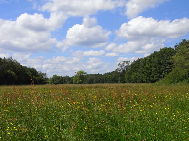
![]() Explore the old water meadows and woodland in this pretty nature reserve near Newbury. You can start the circular walk from the car park at the Ship Inn in the village of Ashford Hill. From here you pick up footpaths through the nature reserve towards Haughurst Hill and Sleepers Copse. The reserve is great for wildlife spotting with several species of butterfly to look out for amongst the wildflowers. Back in the little village you can enjoy refreshments at the Ship Inn.
Explore the old water meadows and woodland in this pretty nature reserve near Newbury. You can start the circular walk from the car park at the Ship Inn in the village of Ashford Hill. From here you pick up footpaths through the nature reserve towards Haughurst Hill and Sleepers Copse. The reserve is great for wildlife spotting with several species of butterfly to look out for amongst the wildflowers. Back in the little village you can enjoy refreshments at the Ship Inn.
The Brenda Parker Way long distance footpath runs through the reserve so there is scope for extending your walk. Also nearby is Wasing Wood, riverside paths along the River Enborne and Greenham Common. The expansive area of heathland is covered in heather and gorse and has nice wide footpaths, wetland areas and wildflower filled grasslands with horses and ponies to look out for. To the east you'll find Pamber Forest with more peaceful woodland trails to try.
There's also the worthy town of Tadley and the fascinating ancient Roman Fort at Silchester to explore here.
Postcode
RG19 8BD - Please note: Postcode may be approximate for some rural locationsAshford Hill Nature Reserve Ordnance Survey Map  - view and print off detailed OS map
Ashford Hill Nature Reserve Open Street Map  - view and print off detailed map
Ashford Hill Nature Reserve OS Map  - Mobile GPS OS Map with Location tracking
Ashford Hill Nature Reserve Open Street Map  - Mobile GPS Map with Location tracking
Pubs/Cafes
Just to the east there's the Badger's Wood pub in Baughurst. You can find them at postcode RG26 5JH for your sat navs.
Dog Walking
The woodland trails are ideal for dog walking so you will probably meet other owners on your visit. The Badger's Wood mentioned above is also dog friendly.
Further Information and Other Local Ideas
Just north of Newbury you can visit the historic Donnington Castle and enjoy a walk around the attractive heathland of Snelsmore Common Country Park.
Cycle Routes and Walking Routes Nearby
Photos
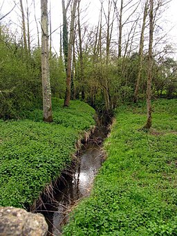
Ashford Hill Meadows. The main stream providing the floodwaters is in the trees to the right, though water was also spilling from a ditch to the left.
Pasture, Ashford Hill Fields south of Tucker's Hill Farm. This was taken at the corner on the public footpath.


