Athlone - Mullingar Greenway - Whitegates Rail Trail
![]() This cycling and walking trail follows an old railway line from Athlone to Mullingar in County Westmeath.
This cycling and walking trail follows an old railway line from Athlone to Mullingar in County Westmeath.
The Old Rail Trail is a transformed section of the Midlands Great Western Railway, meandering through lush fertile farmland, offering visitors a journey through the heart of Ireland. Following the path of the historic Midlands Great Western Railway, it traverses past meticulously restored station buildings and beneath charming stone arched bridges. Connecting the formidable River Shannon in Athlone with the Royal Canal in Mullingar, it traverses regions of exceptional biodiversity and cultural heritage en route.
The route runs for 43km along a nice flat path with nice views of the countryside and evidence of the old railway including the closed stations and disused signal boxes.
Athlone - Mullingar Greenway Open Street Map  - view and print off detailed map
Ireland Walking Map - View All the Routes in the Country>>
Athlone - Mullingar Greenway Open Street Map  - Mobile GPS Map with Location tracking
Cycle Routes and Walking Routes Nearby
Photos
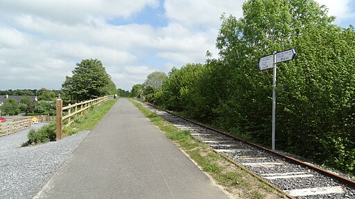
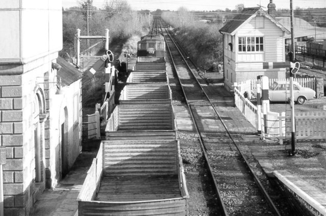
Athlone to Mullingar Greenway at Tully. The Midland Great Western Railway (MGWR) stood as the third largest railway company in Ireland during the mid-19th century, boasting a railway network spanning 866 km across the midlands. Its lines connected Dublin to Galway and Sligo, thereby extending a comprehensive railway network to Westmeath. This railway network brought about prosperity to the towns situated along its route, notably the two principal towns of Mullingar and Athlone. However, with the advancement of the road infrastructure, the railway line between Mullingar and Athlone was shuttered by Cůras Iompair …ireann (CIE) in 1987. As part of the initiatives for the Old Rail Trail, Westmeath County Council undertook conservation efforts on protected structures at both Moate and Castletown Stations. Among the notable features are the splendid stone arch bridges along the Old Rail Trail, some of which are designated as protected structures. These bridges can be easily identified along the Trail by the newly installed old-style parapet railings.


