Battle of the Boyne Walk
![]() This walk visits the site of the 17th century Battle of the Boyne in County Meath.
This walk visits the site of the 17th century Battle of the Boyne in County Meath.
There are miles of free walkways to follow around the historic area which is the site of a noteworthy battle for the British throne.
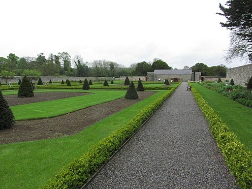
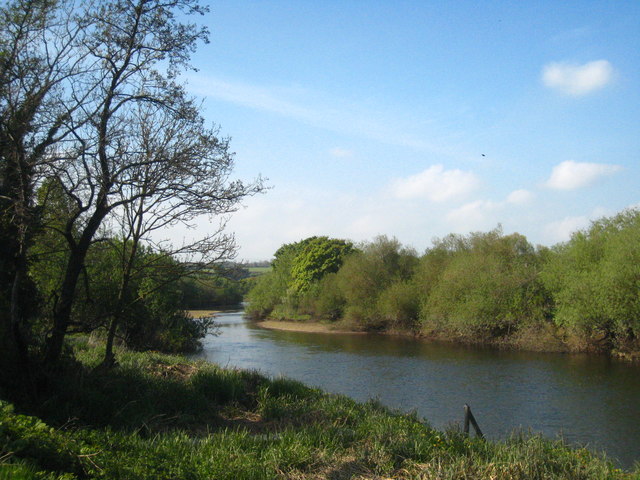
The area also includes nice waterside trails along the Boyne canal and the river. You can park at the visitor centre before enjoying a stroll through the adjacent pretty gardens.
Visitors also have the option of self-guided walks through the core battle site and Oldbridge Estate.
These walks are freely accessible, with parking provided in the Main Car Park.
At the start and various access points of the walks, you'll find several orientation panels and maps.
The routes are colour-coded on information panels, and the tops of the way markers on the walks are painted to correspond with these colours. Each walk is both timed and measured from its starting point.
It's recommended that visitors wear appropriate footwear, as the paths are grassy, with the exception of the Boyne Canal towpath which is gravel-surfaced and adjoins the site.
You can reach the site from Drogheda by following the Drogheda Boyne Greenway west from the town. The shared cycling and walking trail utilises sections of boardwalk and riverside paths along the River Boyne. It's a pleasant way to reach the site without a car.
To continue your historical walking in the area head west to Slane Castle. The castle is well worth a visit with an interesting history, a whiskey distillery, woodland trails and a natural amphitheatre which has been used for many concerts. You can also pick up the lovely Boyne Valley Walk in this area.
Please click here for more information
Battle of the Boyne Open Street Map  - view and print off detailed map
Ireland Walking Map - View All the Routes in the Country>>
Battle of the Boyne Open Street Map  - Mobile GPS Map with Location tracking
Dog Walking
Dogs are welcome on site but owners must keep them on leads at all times and pick up after them. Please note that dogs are not permitted in the Walled Garden or the Visitor Centre with the exception of Guide Dogs.
Further Information and Other Local Ideas
On 1 July 1690, a significant battle occurred on the River Boyne at Oldbridge, County Meath, where King William III confronted his father-in-law, King James II.
Both monarchs led their armies, with Williamite forces numbering 36,000 and Jacobite forces at 25,000, marking it as the largest assembly of troops in an Irish battlefield. The battle was crucial for the British throne, European dominance by France, and religious power in Ireland. William's victory had far-reaching implications, altering the course of the continent.
Today, the battlefield is home to the Battle of the Boyne visitor centre, located in a restored 18th-century house. The centre features original weaponry and a laser model of the battlefield, offering a rich resource for those interested in this crucial moment in Irish and European history.


