Caer Caradoc Circular Walk Map
![]()
![]() Climb to the 1500 ft (459 m) summit of this distinctive hill in the Shropshire Hills AONB. The circular walk starts at Church Stretton, near the train station, and takes you to the Caer Caradoc summit where you will find an ancient hill fort. There are fabulous views of The Wrekin, Long Mynd, Carding Mill Valley, Wenlock Edge, the hills of North Wales and the Brecon Beacons. The walk then descends towards Comley and continues to the pretty village of Cardington. From here you return to Church Stretton via Willstone Hill, passing Hope Bowdler Hill on the way.
Climb to the 1500 ft (459 m) summit of this distinctive hill in the Shropshire Hills AONB. The circular walk starts at Church Stretton, near the train station, and takes you to the Caer Caradoc summit where you will find an ancient hill fort. There are fabulous views of The Wrekin, Long Mynd, Carding Mill Valley, Wenlock Edge, the hills of North Wales and the Brecon Beacons. The walk then descends towards Comley and continues to the pretty village of Cardington. From here you return to Church Stretton via Willstone Hill, passing Hope Bowdler Hill on the way.
If you'd like to continue your walking in the area then the beautiful Carding Mill Valley and Long Mynd are nearby.
Caer Caradoc Ordnance Survey Map  - view and print off detailed OS map
Caer Caradoc Open Street Map  - view and print off detailed map
*New* - Walks and Cycle Routes Near Me Map - Waymarked Routes and Mountain Bike Trails>>
Caer Caradoc OS Map  - Mobile GPS OS Map with Location tracking
Caer Caradoc Open Street Map  - Mobile GPS Map with Location tracking
Pubs/Cafes
The Kings Arms in Church Stretton is a historic pub of some note. It dates back to 1593 and is one of the oldest pubs in the area. It has a cosy interior with original beams and a log burner to warm yourself by on colder days. Outside there's a patio and a pretty garden area if the sun is shining. You can find the old pub on the High Street with a postcode of SY6 6BY for your sat navs. The inn is also dog friendly if you have your canine friend in tow.
Cycle Routes and Walking Routes Nearby
Photos
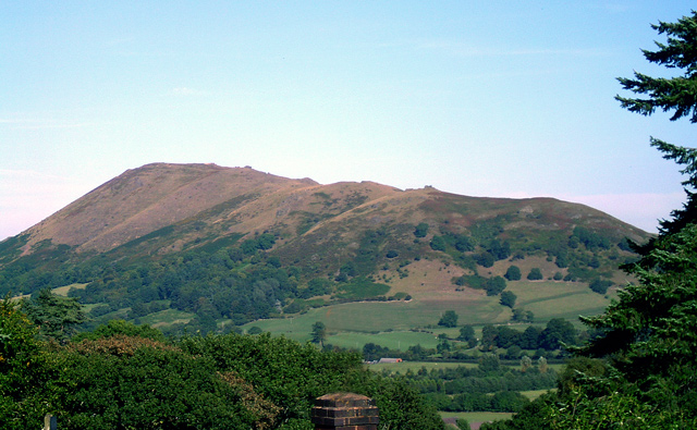
The mighty Caer Caradoc viewed across the Stretton valley from the footpath above Rectory Wood.
The walk offers a rich variety of flora and fauna, characteristic of the region's upland habitats. The slopes are adorned with heather and gorse, which bloom vibrantly during late summer, providing both colour and habitat for various insects. In spring and summer, wildflowers such as bluebells and primroses can be found in the lower wooded areas, adding to the area's botanical diversity.
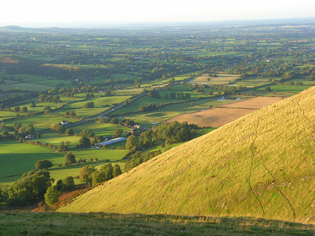
Looking south from the hill-fort. Hope Bowdler Hill rises to the left in the middleground.
The diverse plant life on the hill supports a range of wildlife, including red kites and buzzards, which are often seen soaring above the hills. The area is also home to various species of deer, which may be spotted grazing in the early morning or late evening. The presence of these species indicates a healthy ecosystem, supported by the varied habitats
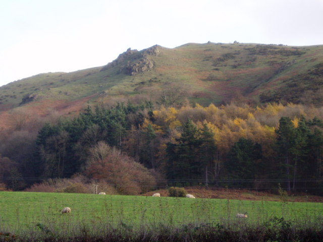
Caer Caradoc. Named for Caradog, or Caractacus, who was the king of the Catuvellauni at the time of the Roman invasion. He was defeated by the Romans, and lived out his life in exile in Rome after being pardoned by the Emperor claudius.
View from Woodnall, above All Stretton.
Interesting rock outcrop on the hill top. The outcrops on the hill are of volcanic rock. These lack the layered structure of sedimentary rocks such as those on the nearby Long Mynd.


