Castlemorton Common Walks
![]()
![]() This walk explores Castlemorton Common near the village of Castlemorton in Worcestershire.
This walk explores Castlemorton Common near the village of Castlemorton in Worcestershire.
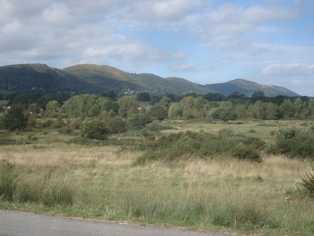
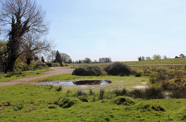
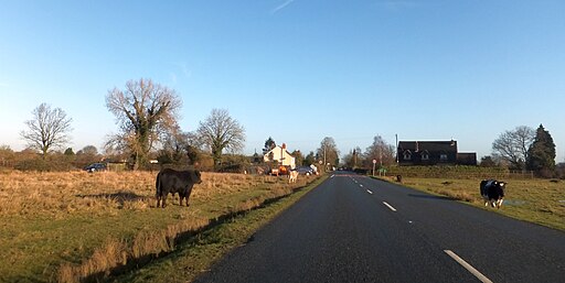
The common is a popular place for a walk with miles of trails and fine views towards the Malvern Hills which lie just to the west of the site. There's also grazing cattle, lots of wildflowers in the summer, ponds, woodland and wildlife to enjoy.
This circular walk starts from the Swinyard Hill public car park on the south western side of the common. From here you can pick up the trails heading north and then east across the expansive common.
The Worcestershire Way Link runs through the common. You could pick up the trail and follow it west to climb to Herefordshire Beacon and British Camp. Here you will find an Iron Age Hillfort and some glorious views over the common and the surrounding countryside.
Postcode
HR8 1EU - Please note: Postcode may be approximate for some rural locationsCastlemorton Common Ordnance Survey Map  - view and print off detailed OS map
Castlemorton Common Open Street Map  - view and print off detailed map
Castlemorton Common OS Map  - Mobile GPS OS Map with Location tracking
Castlemorton Common Open Street Map  - Mobile GPS Map with Location tracking
Pubs/Cafes
Ruffz cafe is located near the car park. The small cafe serves a good range of refreshments and has a pretty garden with fine views.
If you fancy a pub lunch the Robin Hood Inn is located towards the eastern side of the common. The black and white country pub has a fine olde worlde interior with a large real fire and genuine beams bedecked with brass and paraphernalia. They serve a fine Sunday lunch and also have a garden and a car parking area. You can find them on the Gloucester Road at a postcode of WR13 6BS for your sat navs.
Dog Walking
The common's wide and long trails are ideal for a dog walk. The Robin Hood Inn mentioned above is also dog friendly.
Further Information and Other Local Ideas
Just to the north east you'll find the worthy village of Hanley Swan. The picturesque settlement includes a pretty village green, a pond, a 17th century pub and walking trails to neighbouring Hanley Castle where you can see the remains of the ancient fort. The river trails and historic 16th century pub at Upton Upon Severn are also located in this area.
Cycle Routes and Walking Routes Nearby
Photos
Castlemorton Common in late summer. One of the best viewpoints for the Malvern Hills. Here looking north-west from the lane which crosses the common.
View over the car park from Swinyard Hill. The Malvern Hills Conservators car park at the end of the Gullet Quarry lane is below, with Castlemorton Common on the left. Large areas of Rosebay Willowherb can be found on the Malverns in the summer.


