Coed Morgannwg Way
![]()
![]() This walk runs from Merthyr Tydfil to Margam, through the four forests of Coed Morgannwg, the Cynon Valley and the Dare Valley. The walk starts at the Gethin Woodland Park in Merthyr Tydfil and heads west to Aberdare and the lovely Dare Valley Country Park with 500 acres of woodlands, pasture and moorland mountainside.
This walk runs from Merthyr Tydfil to Margam, through the four forests of Coed Morgannwg, the Cynon Valley and the Dare Valley. The walk starts at the Gethin Woodland Park in Merthyr Tydfil and heads west to Aberdare and the lovely Dare Valley Country Park with 500 acres of woodlands, pasture and moorland mountainside.
You continue west passing Lluest Wen Reservoir before ascending Craig y Llyn mountain - the highest point in Glamorgan and in the South Wales Valleys. The views are wonderful with the lakes Llyn Fawr and Llyn Fawr at the base of the mountain. The route the descends through more woodland to Abercregan and then across the River Avan to the Afan Argoed Country Park. The final section takes you past Bryn and Mynydd Margam to the finish point at the splendid Margam Country Park. The attraction includes the magnificent Margam Castle, an 18th Century Orangery with ornamental gardens and the Deer Park, all set within 1000 acres of beautiful countryside.
The walk is waymarked with a white footprint logo.
Coed Morgannwg Way Ordnance Survey Map  - view and print off detailed OS map
Coed Morgannwg Way Open Street Map  - view and print off detailed map
Coed Morgannwg Way OS Map  - Mobile GPS OS Map with Location tracking
Coed Morgannwg Way Open Street Map  - Mobile GPS Map with Location tracking
Further Information and Other Local Ideas
At the end of the route in Margam you could follow a footpath north to visit Brombil Reservoir. The picturesque turquiose coloured lake is a lovely place for a peaceful stroll. From the hills surrounding the lake there are fine views to the coast too. You can find the site just a mile north of the route end point in Margam Country Park.
Cycle Routes and Walking Routes Nearby
Photos
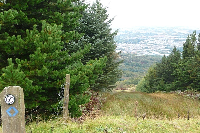
Above Merthyr tunnel. A forest road contours through forestry above Merthyr tunnel. This view north-east towards Merthyr in the distance is down an incline towards a quarry. It appears there may have been an inclined plane here before the tunnel was built.
From Tarren y Bwllfa. From the trail above the Tarren y Bwllfa crag, you get this fine view down Cwm Dar. Don't walk this direction though; the crags are just beyond the tussocky grass in the foreground.
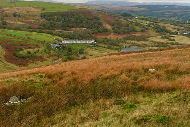
Towards Cwm Dar. The immediate locality is sheep grazing moorland before dropping steeper towards Cwm Dar. The higher of its two small reservoirs can be seen.
Track, Cwm Philip Track in Margam Country Park striking out into Cwm Philip having left the area immediately surrounding Margam Castle. The track forms a small part of two long distance routes beginning here in Margam : the 57 km Coed Morgannwg Way which ends at Gethin Country Park near Merthyr Tydfil, and the 103 km St Illtyd's Walk ending at Pembrey Country Park in Carmarthenshire.


